Transport Functions
Port
Road
Hub Profile
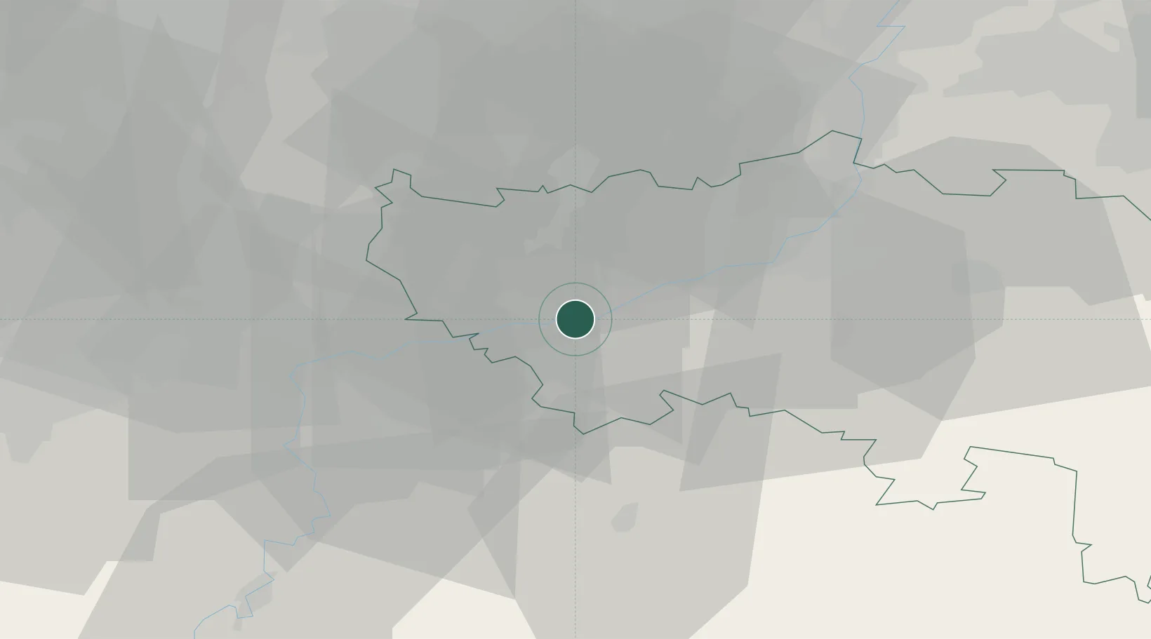
Place type
Populated place
Region
Wallonia
Population
3,576
Time zone
Europe/Brussels
Elevation
137 m
Location
Nearby Logistics Neighbours
Cities
- 1Neuville-sous-Huy0 km
- 2Tihange1 km
- 3Amay3 km
- 4Ombret-Rawsa4 km
- 5Huy4 km
Airports
- 1Liège Airport16 km
- 2Beauvechain Air Base44 km
- 3Maastricht Aachen Airport54 km
- 4Florennes Air Base56 km
- 5Brussels South Charleroi Airport59 km
Trade Zones
- 1Rheinische Revier SWZ88 km
- 2ZFU Ronde Couture96 km
- 3ZFU Maubeuge, Louvroil100 km
- 4Luxembourg Free Port120 km
- 5ZFU Condé sur lEscaut121 km
DatabookThe Record of Consolidated Knowledge
Belgium beyond logistics?