Transport Functions
Rail
Road
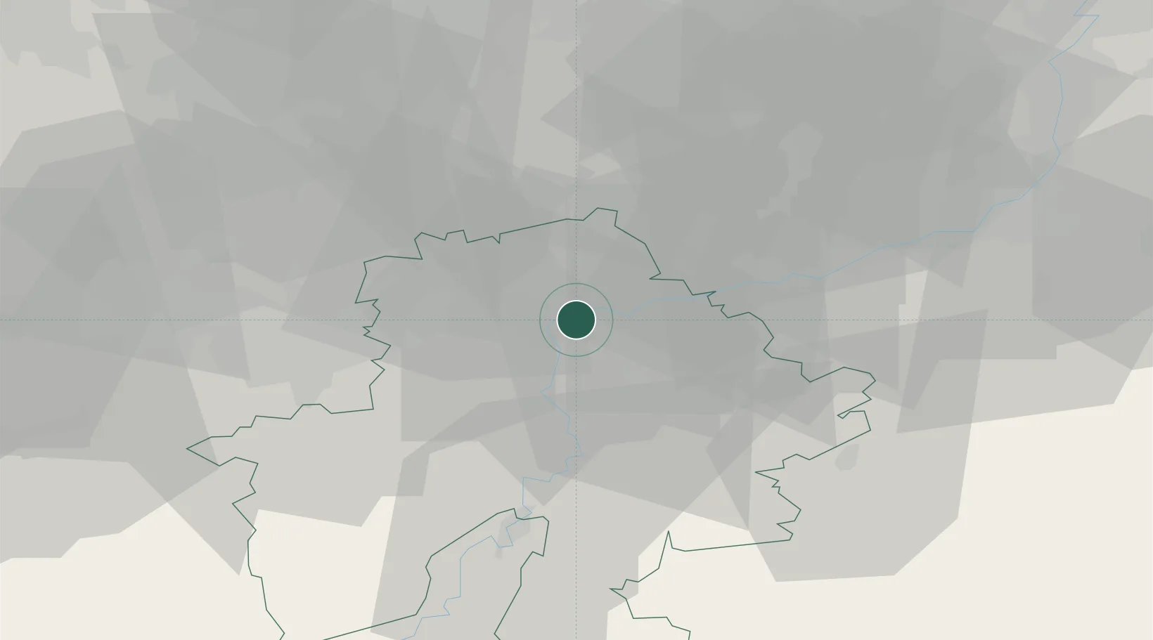
Hub Profile
Place type
Populated place
Region
Wallonia
Population
465
Time zone
Europe/Brussels
Elevation
81 m
Location
Nearby Logistics Neighbours
Cities
- 1Beez0 km
- 2Jambes3 km
- 3Namur4 km
- 4Marche-les-Dames4 km
- 5Samson5 km
Airports
- 1Florennes Air Base31 km
- 2Brussels South Charleroi Airport32 km
- 3Beauvechain Air Base34 km
- 4Liège Airport42 km
- 5Brussels Airport57 km
Trade Zones
DatabookThe Record of Consolidated Knowledge
Belgium beyond logistics?