Transport Functions
Port
Rail
Road
Hub Profile
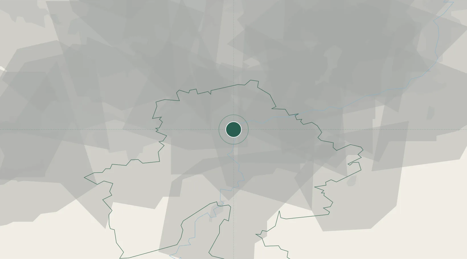
Place type
Populated place
Region
Wallonia
Population
19,658
Time zone
Europe/Brussels
Elevation
84 m
Location
Nearby Logistics Neighbours
Cities
- 1Namur2 km
- 2Beez3 km
- 3Lives-sur-Meuse3 km
- 4Wépion4 km
- 5Salzinnes5 km
Airports
- 1Florennes Air Base29 km
- 2Brussels South Charleroi Airport30 km
- 3Beauvechain Air Base35 km
- 4Liège Airport45 km
- 5Brussels Airport58 km
Trade Zones
DatabookThe Record of Consolidated Knowledge
Belgium beyond logistics?