Transport Functions
Rail
Road
Hub Profile
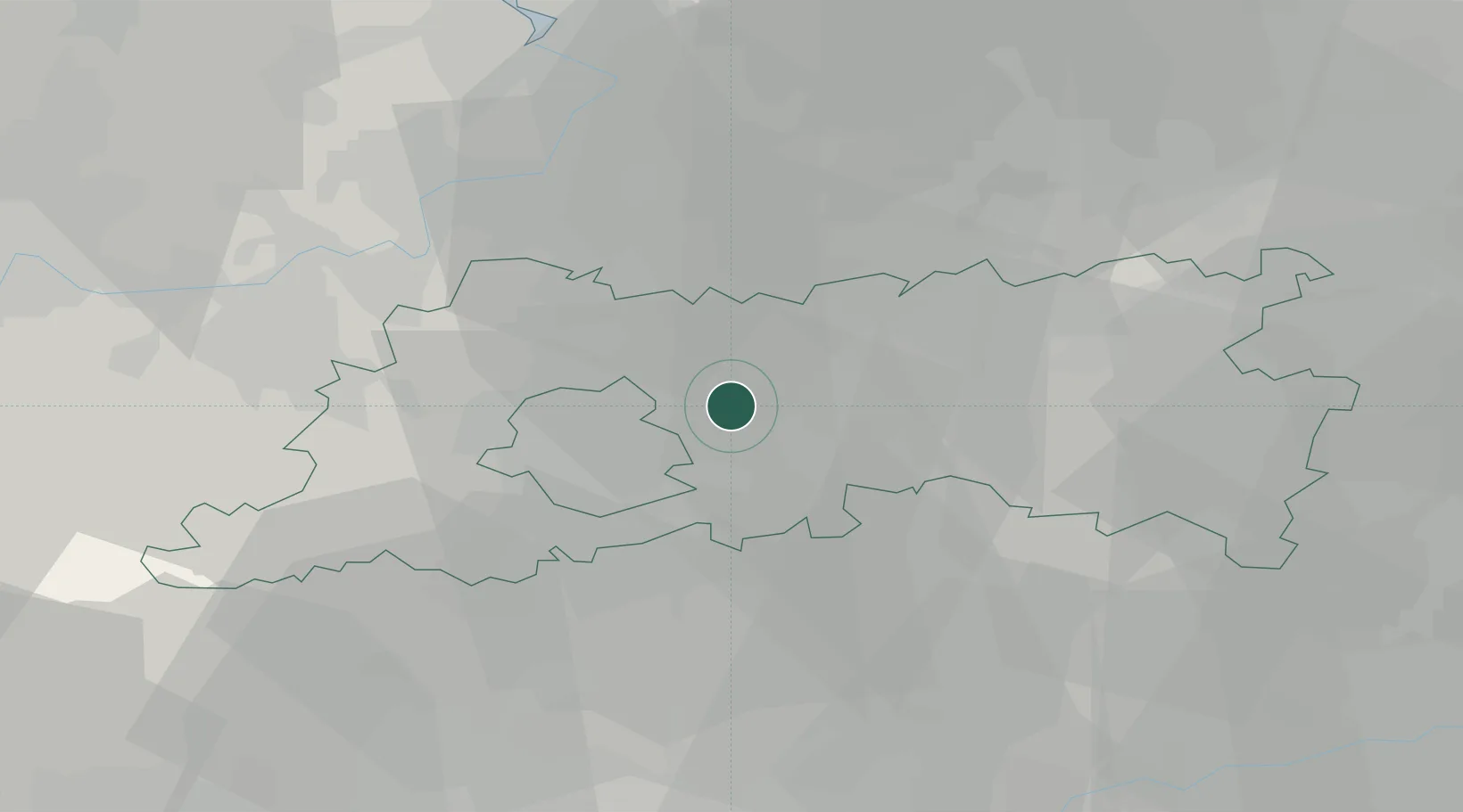
Place type
Populated place
Region
Flanders
Population
3,165
Time zone
Europe/Brussels
Elevation
54 m
Location
Nearby Logistics Neighbours
Cities
- 1Haren7 km
- 2Kampenhout8 km
- 3Vilvoorde9 km
- 4Marly9 km
- 5Brussel (Bruxelles)9 km
Airports
Trade Zones
DatabookThe Record of Consolidated Knowledge
Belgium beyond logistics?