Transport Functions
Rail
Road
Hub Profile
Place type
Populated place
Region
Wallonia
Time zone
Europe/Brussels
Elevation
96 m
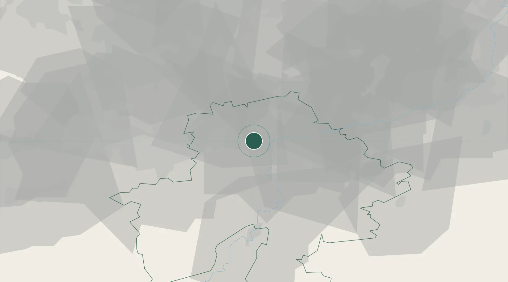
Location
Nearby Logistics Neighbours
Cities
- 1Flawinne1 km
- 2Namur4 km
- 3Floriffoux4 km
- 4Floreffe4 km
- 5Jambes5 km
Airports
- 1Brussels South Charleroi Airport25 km
- 2Florennes Air Base28 km
- 3Beauvechain Air Base33 km
- 4Liège Airport48 km
- 5Brussels Airport54 km
Trade Zones
DatabookThe Record of Consolidated Knowledge
Belgium beyond logistics?