Transport Functions
Port
Road
Hub Profile
Region
WHT
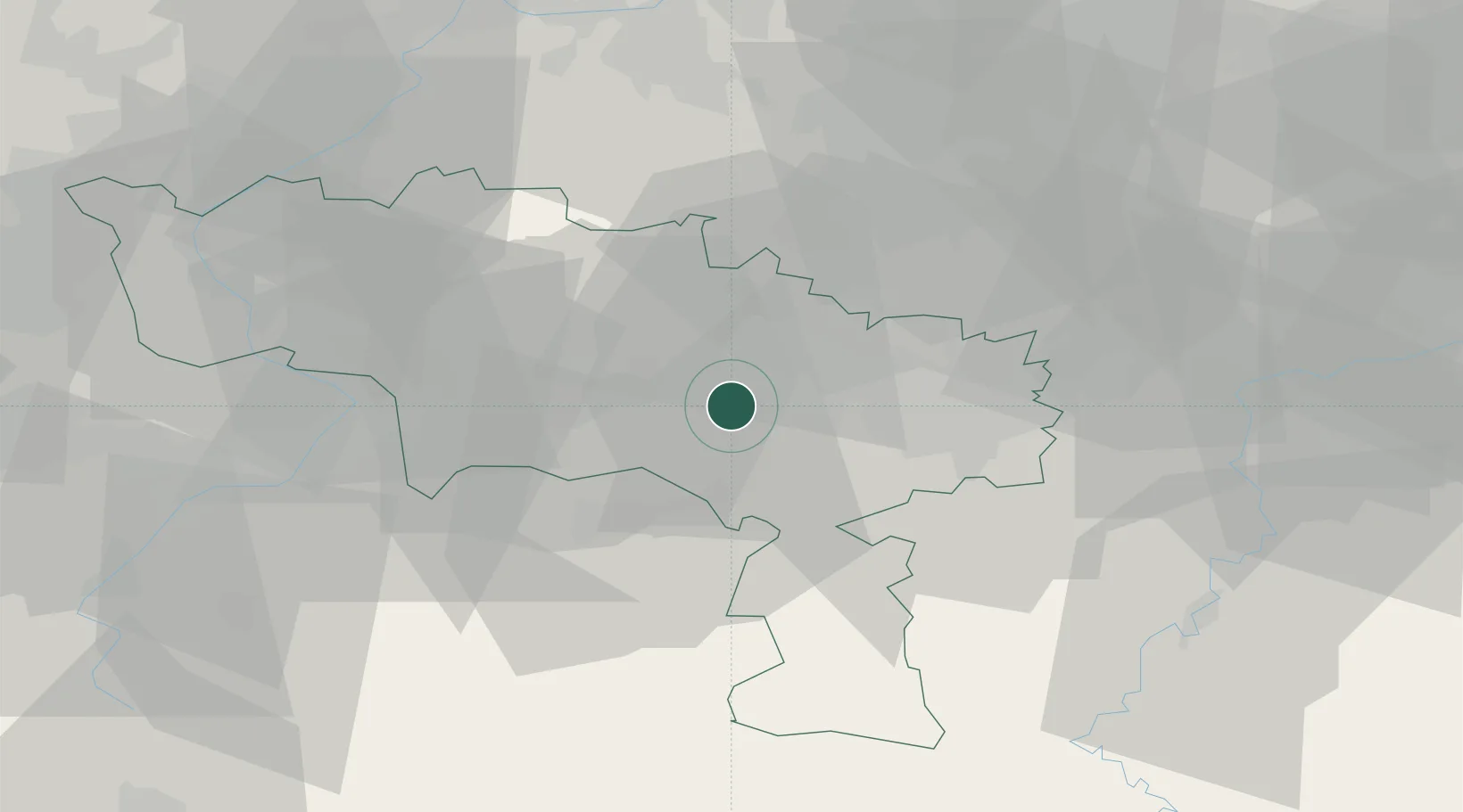
Location
Nearby Logistics Neighbours
Cities
- 1Maurage4 km
- 2Thieu5 km
- 3Houdeng-Aimeries6 km
- 4Ville-sur-Haine7 km
- 5Le Roeulx8 km
Airports
- 1Brussels South Charleroi Airport23 km
- 2Chièvres Air Base27 km
- 3Florennes Air Base42 km
- 4Valenciennes-Denain Airfield49 km
- 5Beauvechain Air Base58 km
DatabookThe Record of Consolidated Knowledge
Belgium beyond logistics?