Transport Functions
Port
Road
Hub Profile
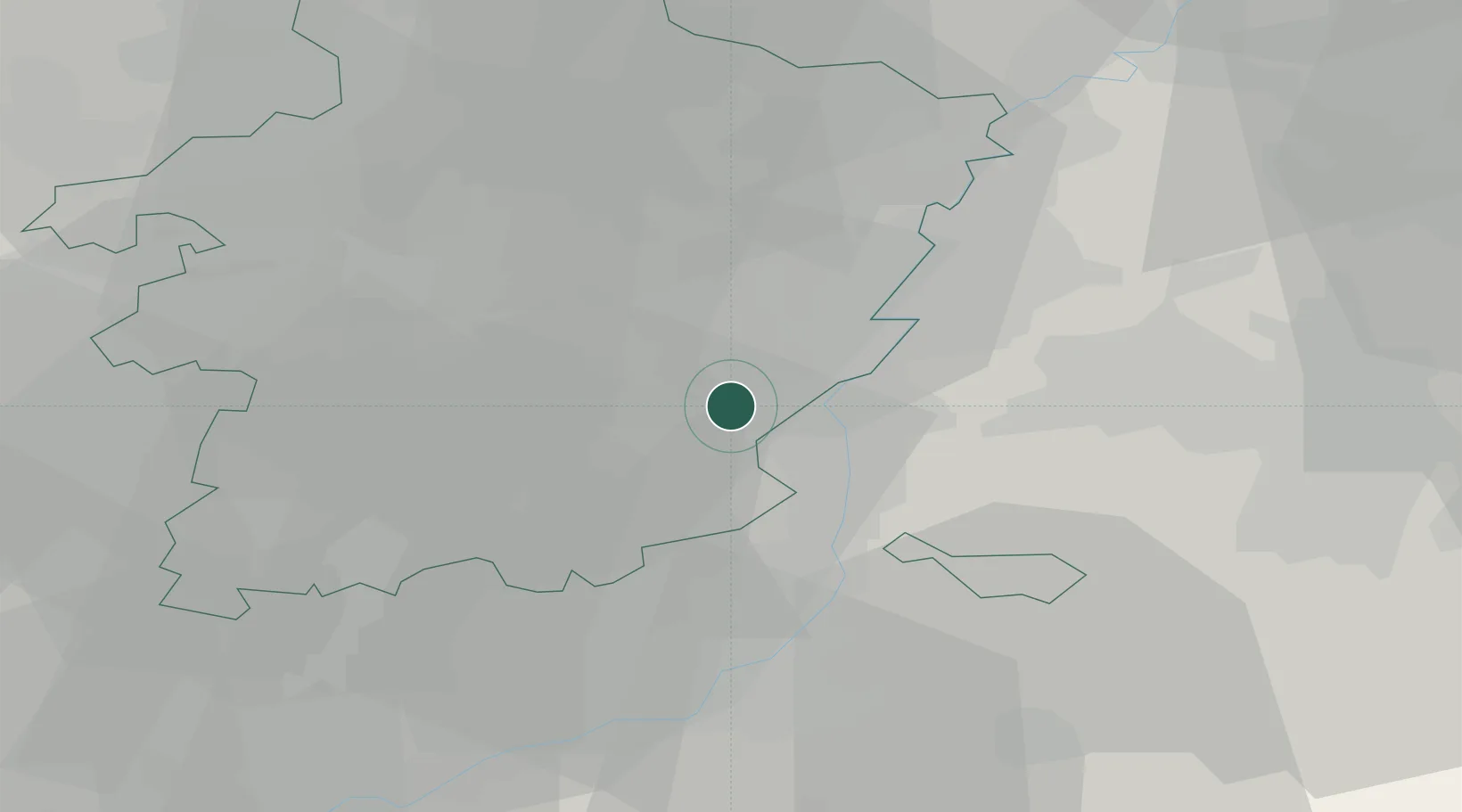
Place type
Populated place
Region
Flanders
Population
2,636
Time zone
Europe/Brussels
Elevation
95 m
Location
Nearby Logistics Neighbours
Cities
- 1Briegden2 km
- 2Eigenbilzen2 km
- 3Veldwezelt3 km
- 4Lanaken4 km
- 5Zutendaal6 km
Airports
- 1Maastricht Aachen Airport12 km
- 2Liège Airport29 km
- 3Geilenkirchen Air Base32 km
- 4Kleine Brogel Air Base33 km
- 5Kempen Airport Budel41 km
Trade Zones
- 1Rheinische Revier SWZ55 km
- 2Freeport of Duisburg93 km
- 3ZFU Maubeuge, Louvroil137 km
- 4ZFU Ronde Couture141 km
- 5Luxembourg Free Port145 km
DatabookThe Record of Consolidated Knowledge
Belgium beyond logistics?