Transport Functions
Rail
Road
Multimodal
Hub Profile
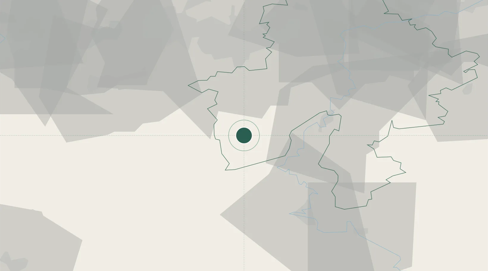
Place type
Populated place
Region
Wallonia
Population
1,244
Time zone
Europe/Brussels
Elevation
170 m
Location
Nearby Logistics Neighbours
Cities
- 1Vaulx10 km
- 2Cerfontaine13 km
- 3Merlemont15 km
- 4Vireux-Molhain16 km
- 5Haybes16 km
Airports
Trade Zones
DatabookThe Record of Consolidated Knowledge
Belgium beyond logistics?