Transport Functions
Rail
Road
Hub Profile
Place type
Populated place
Region
Flanders
Population
1,021
Time zone
Europe/Brussels
Elevation
12 m
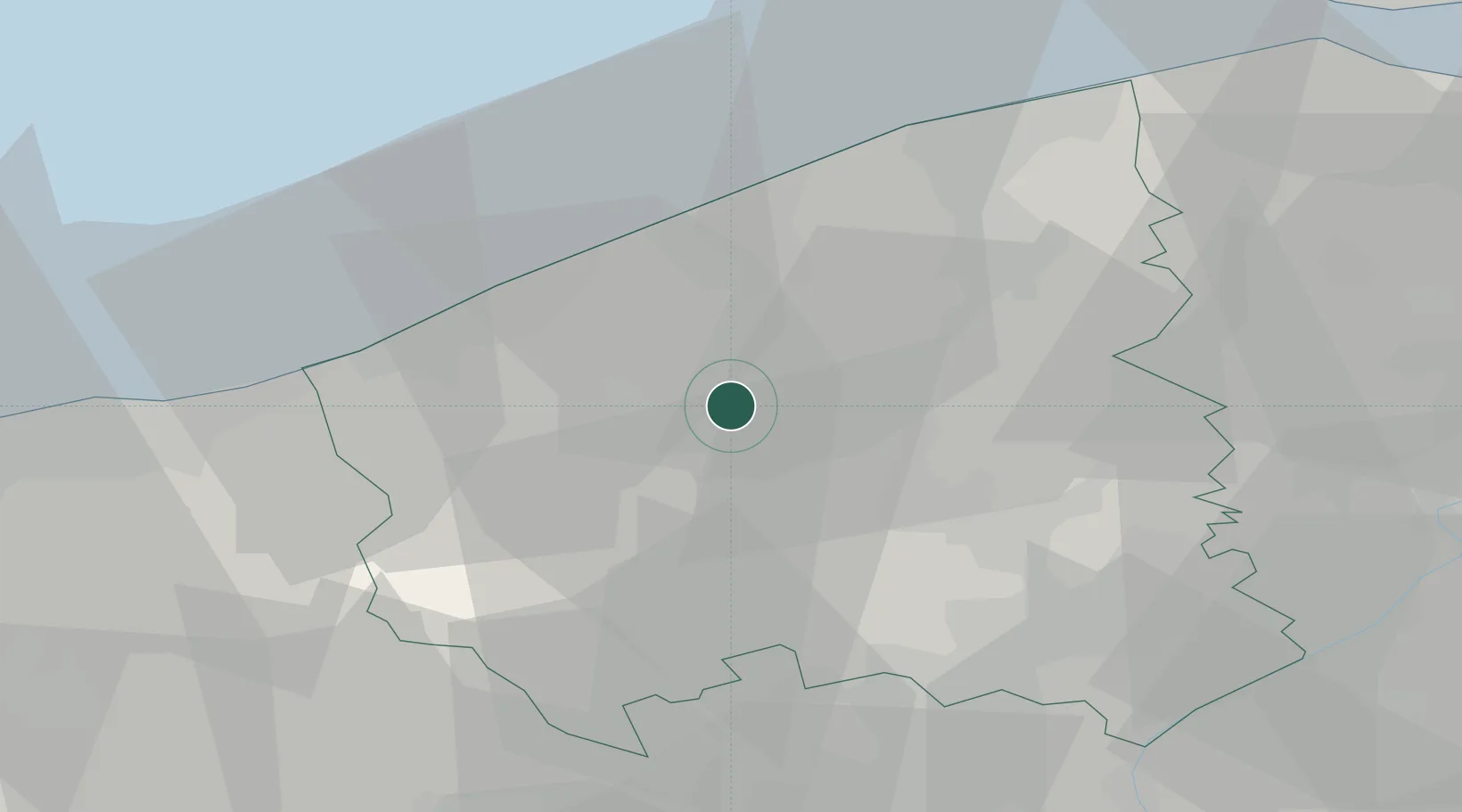
Location
Nearby Logistics Neighbours
Cities
- 1Handzame5 km
- 2Diksmuide6 km
- 3Kaaskerke8 km
- 4Moerdijk10 km
- 5Sint-Jacobs-Kapelle11 km
Ports
- 1Nieuwpoort17 km
- 2Oostende21 km
- 3Bruges28 km
- 4Zeebrugge36 km
- 5Dunkerque Port Est42 km
Airports
Trade Zones
DatabookThe Record of Consolidated Knowledge
Belgium beyond logistics?