Transport Functions
Port
Road
Hub Profile
Place type
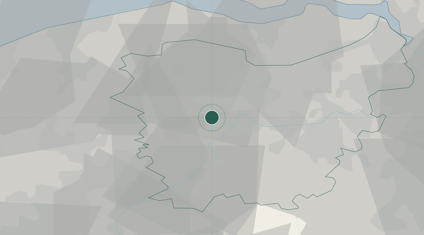
Populated place
Region
Flanders
Population
375
Time zone
Europe/Brussels
Elevation
8 m
Location
Nearby Logistics Neighbours
Cities
- 1Drongen2 km
- 2Sint-Martens-Latem3 km
- 3De Pinte4 km
- 4Zwijnaarde5 km
- 5Ledeberg6 km
Ports
- 1Ghent6 km
- 2Terneuzen37 km
- 3Bruges39 km
- 4Vlissingen47 km
- 5Zeebrugge47 km
Airports
Trade Zones
DatabookThe Record of Consolidated Knowledge
Belgium beyond logistics?