UN/LOCODE hub · Belgium
BESML
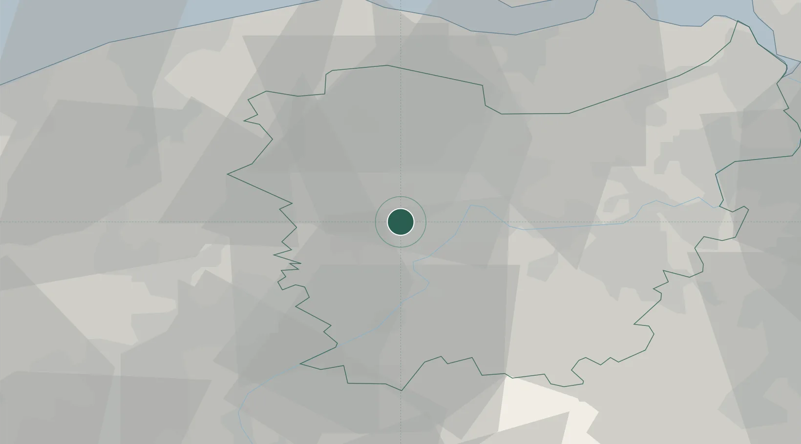
Sint-Martens-Latem
51.0167°, 3.6333°
8,303
Population
2
Transport functions
Transport Functions
Port
Road
Hub Profile
Place type
Populated place
Region
Flanders
Population
8,303
Time zone
Europe/Brussels
Elevation
8 m
Location
Nearby Logistics Neighbours
DatabookThe Record of Consolidated Knowledge
Belgium beyond logistics?