UN/LOCODE hub · Bosnia & Herzegovina
BASJA
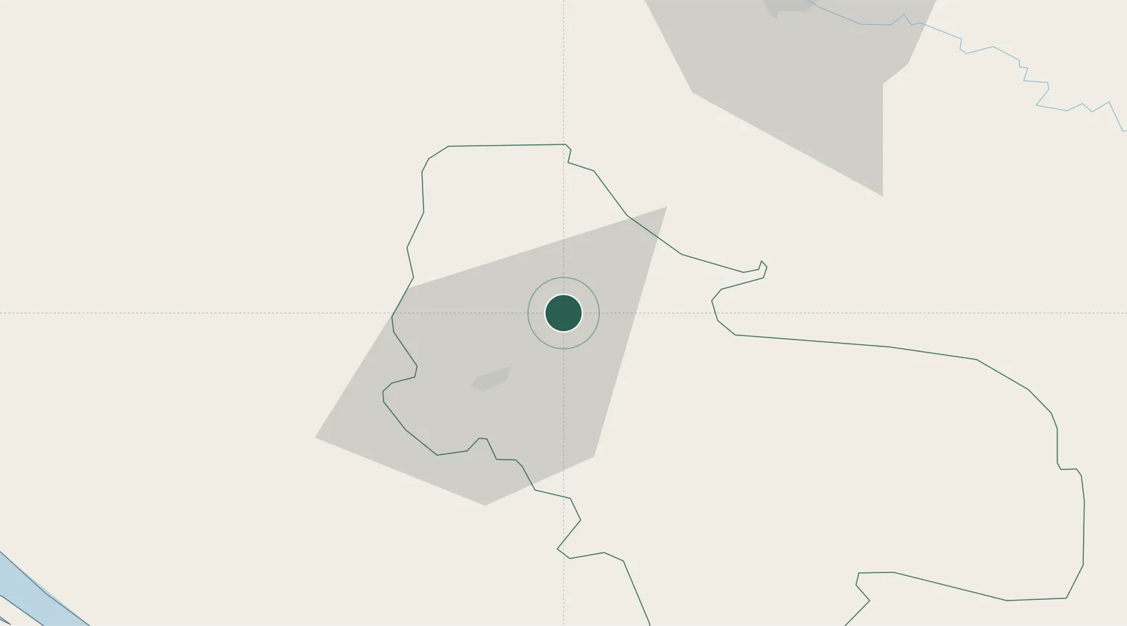
Stijena
44.9333°, 16.0167°
10,844
Population
2
Transport functions
Transport Functions
Rail
Road
Hub Profile
Place type
Locality
Region
Federation of B&H
Population
10,844
Time zone
Europe/Sarajevo
Elevation
354 m
Location
Nearby Logistics Neighbours
Cities
- 1Cazin8 km
- 2Bosanska Krupa12 km
- 3Prijedor54 km
- 4Sanski Most55 km
- 5Kriz57 km
Ports
- 1Senj88 km
- 2Zadar111 km
- 3Omisalj119 km
- 4Bakar123 km
- 5Rijeka Luka132 km
Airports
- 1Udbina Airfield46 km
- 2Zagreb Franjo Tuđman International Airport90 km
- 3Banja Luka International Airport101 km
- 4Zadar Airport107 km
- 5Cerklje ob Krki Air Base114 km
Trade Zones
- 1PJ Free Zone Zagreb97 km
- 2Free Zone Kukuljanovo126 km
- 3Krapina-Zagorje Free Zone136 km
- 4Port of Rijeka Free Zone141 km
- 5Sjever Free Zone153 km
DatabookThe Record of Consolidated Knowledge
Bosnia & Herzegovina beyond logistics?