UN/LOCODE hub · Bosnia & Herzegovina
BASMT
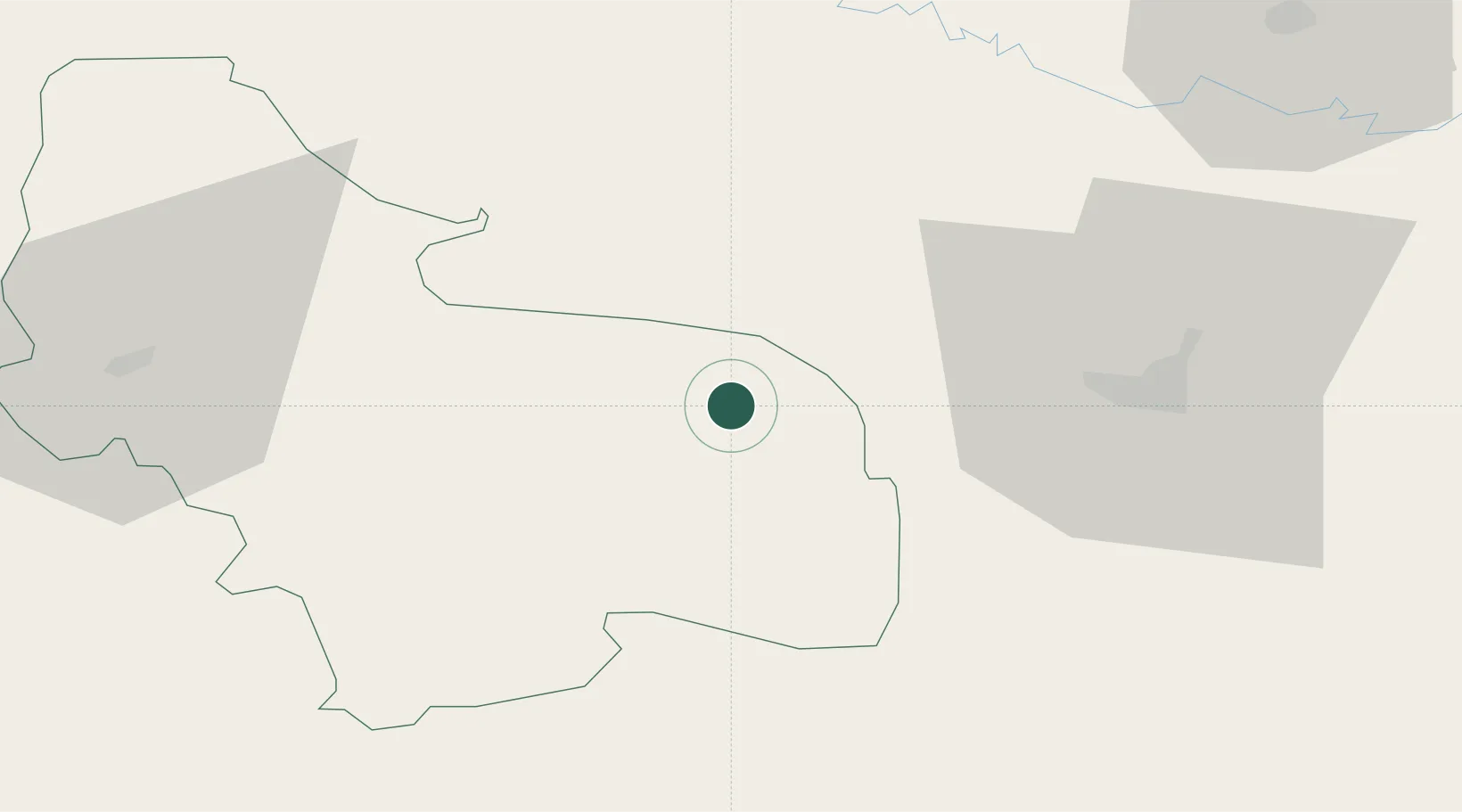
Sanski Most
44.7667°, 16.6667°
13,551
Population
2
Transport functions
Transport Functions
Port
Multimodal
Hub Profile
Place type
District seat
Region
Federation of B&H
Population
13,551
Time zone
Europe/Sarajevo
Elevation
158 m
Location
Nearby Logistics Neighbours
Cities
- 1Prijedor22 km
- 2Bosanska Krupa43 km
- 3Stijena55 km
- 4Cazin62 km
- 5Buchlovice63 km
Airports
- 1Banja Luka International Airport53 km
- 2Udbina Airfield74 km
- 3Zagreb Franjo Tuđman International Airport118 km
- 4Zadar Airport128 km
- 5Split Saint Jerome Airport140 km
Trade Zones
- 1Duro Daković Free Zone115 km
- 2PJ Free Zone Zagreb130 km
- 3Split-Dalmatia Free Zone140 km
- 4Port of Split Free Zone141 km
- 5Free Zone Visoko146 km
DatabookThe Record of Consolidated Knowledge
Bosnia & Herzegovina beyond logistics?