UN/LOCODE hub · Bosnia & Herzegovina
BABKR
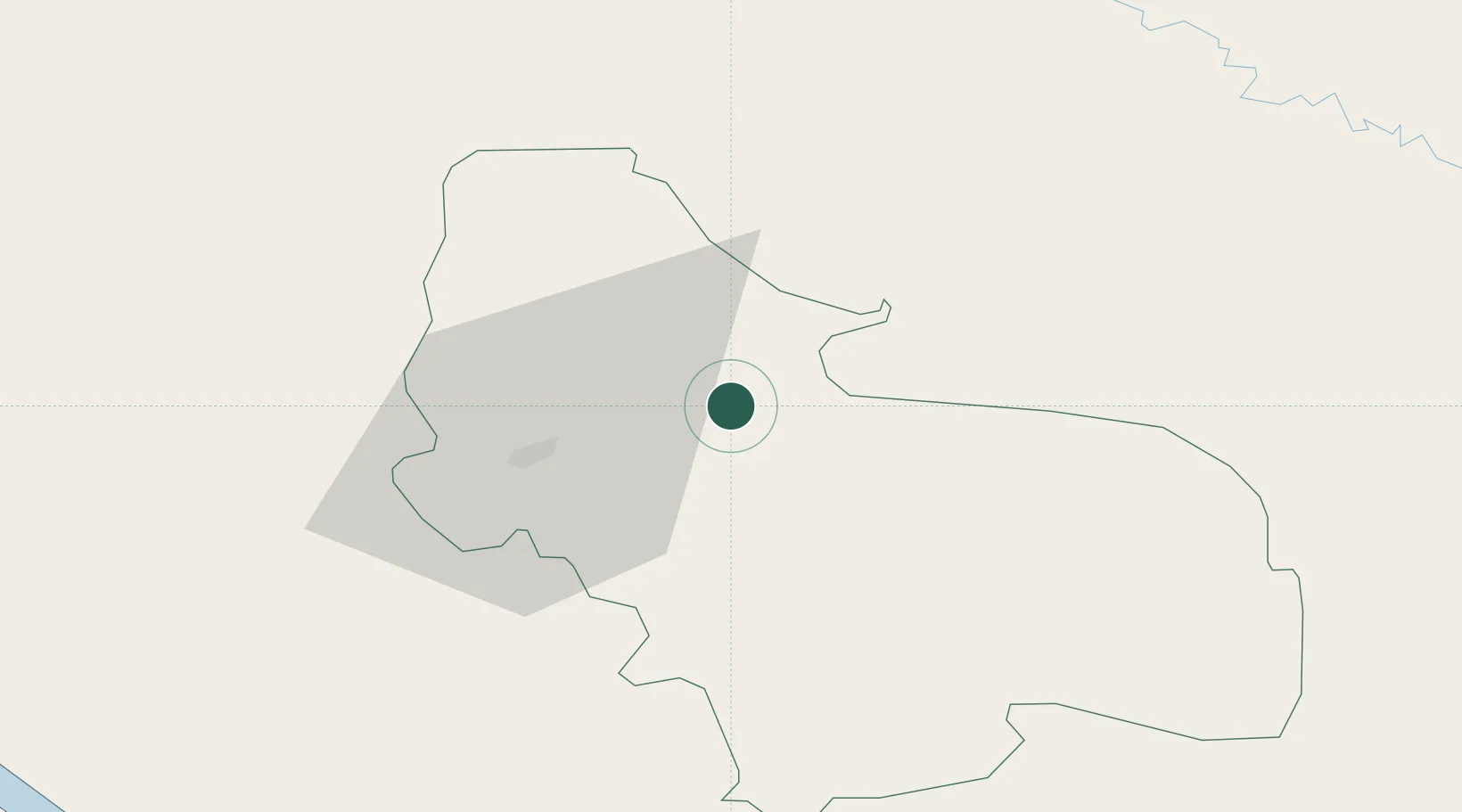
Bosanska Krupa
44.8833°, 16.1500°
15,193
Population
2
Transport functions
Transport Functions
Rail
Road
Hub Profile
Place type
District seat
Region
Federation of B&H
Population
15,193
Time zone
Europe/Sarajevo
Elevation
153 m
Location
Nearby Logistics Neighbours
Cities
- 1Stijena12 km
- 2Cazin19 km
- 3Sanski Most43 km
- 4Prijedor44 km
- 5Kriz60 km
Airports
- 1Udbina Airfield47 km
- 2Banja Luka International Airport91 km
- 3Zagreb Franjo Tuđman International Airport96 km
- 4Zadar Airport108 km
- 5Cerklje ob Krki Air Base123 km
Trade Zones
- 1PJ Free Zone Zagreb104 km
- 2Free Zone Kukuljanovo138 km
- 3Krapina-Zagorje Free Zone143 km
- 4Duro Daković Free Zone149 km
- 5Port of Rijeka Free Zone152 km
DatabookThe Record of Consolidated Knowledge
Bosnia & Herzegovina beyond logistics?