Transport Functions
Rail
Road
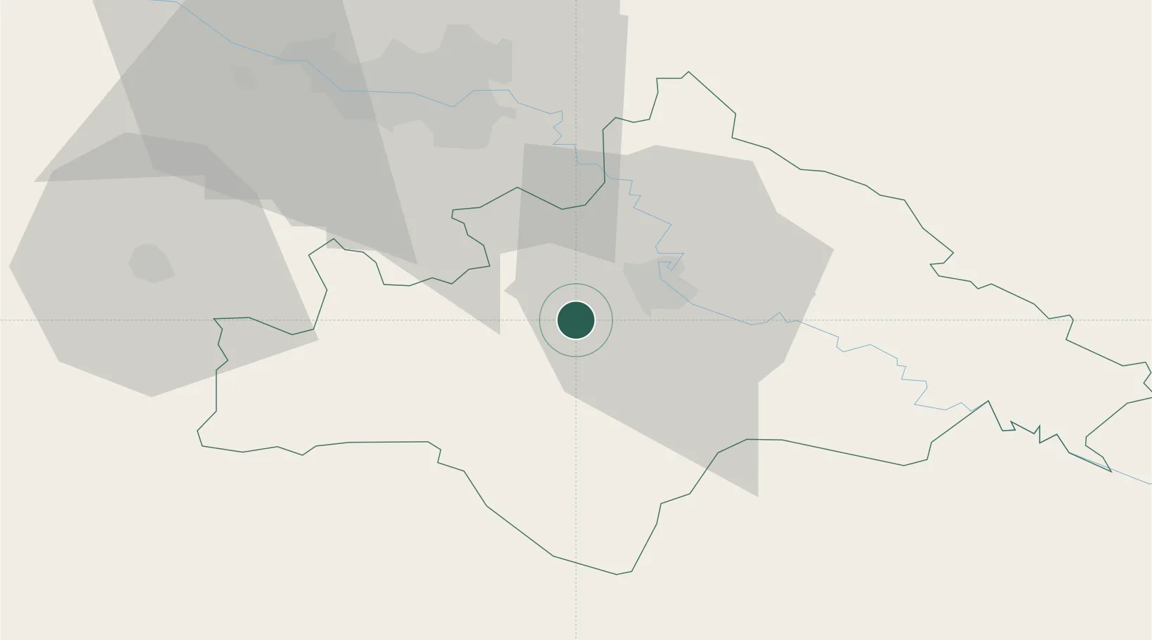
Hub Profile
Place type
Provincial seat
Region
Zagreb County
Population
1,604
Time zone
Europe/Zagreb
Elevation
121 m
Location
Nearby Logistics Neighbours
Cities
- 1Petrinja2 km
- 2Sisak11 km
- 3Ivanic-Grad33 km
- 4Velika Gorica35 km
- 5Rugvica35 km
Ports
- 1Senj116 km
- 2Bakar135 km
- 3Omisalj135 km
- 4Rijeka Luka142 km
- 5Zadar166 km
Airports
Trade Zones
- 1PJ Free Zone Zagreb52 km
- 2Krapina-Zagorje Free Zone87 km
- 3Sjever Free Zone97 km
- 4Free Zone Kukuljanovo136 km
- 5Duro Daković Free Zone140 km
DatabookThe Record of Consolidated Knowledge
Croatia beyond logistics?