UN/LOCODE hub · Bosnia & Herzegovina
BAPDR
Prijedor
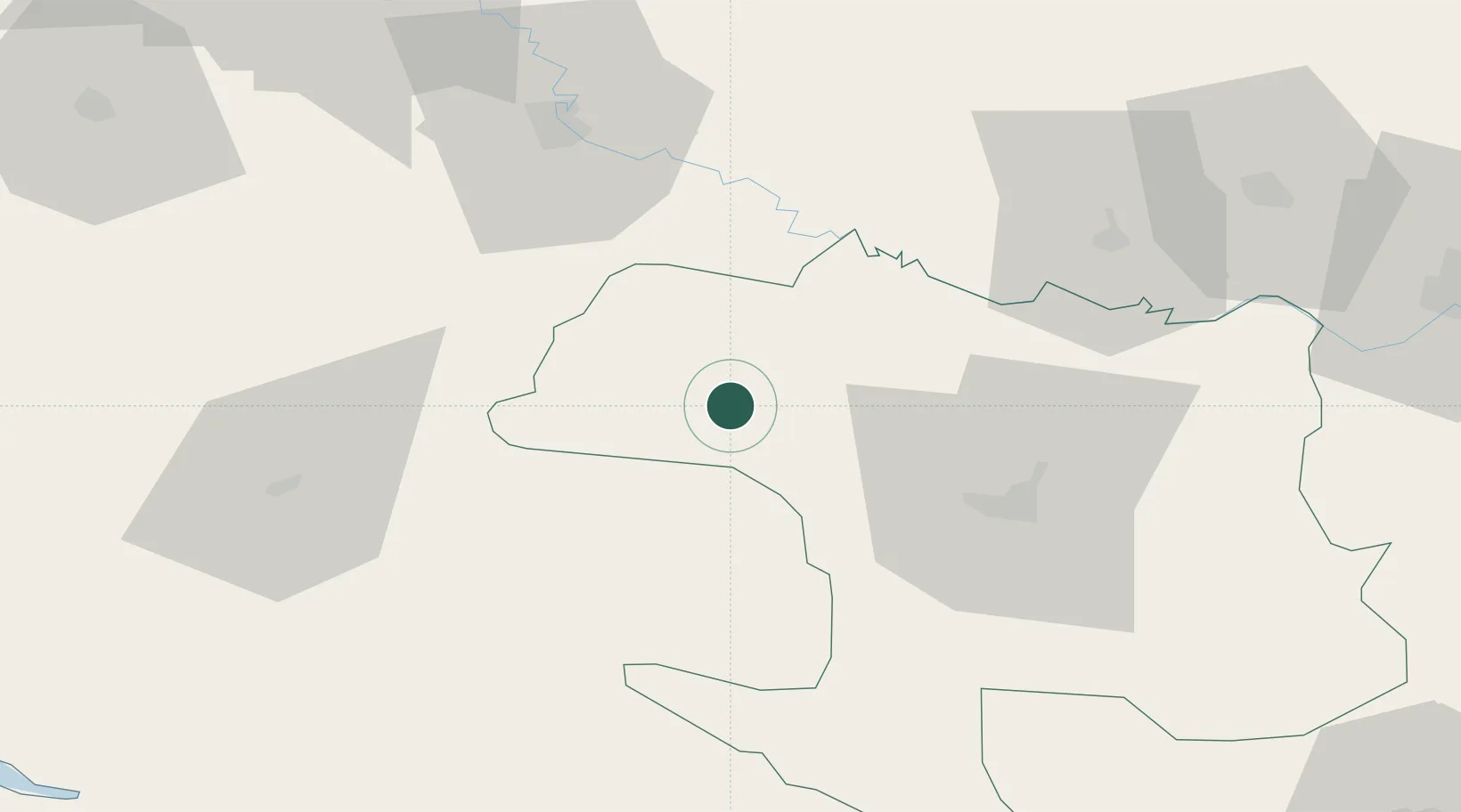
44.9667°, 16.7000°
36,347
Population
2
Transport functions
Transport Functions
Rail
Road
Hub Profile
Place type
Provincial seat
Region
Srpska
Population
36,347
Time zone
Europe/Sarajevo
Elevation
140 m
Location
Nearby Logistics Neighbours
Cities
- 1Sanski Most22 km
- 2Bosanska Krupa44 km
- 3Buchlovice51 km
- 4Stijena54 km
- 5Kutina56 km
Airports
- 1Banja Luka International Airport47 km
- 2Udbina Airfield86 km
- 3Zagreb Franjo Tuđman International Airport99 km
- 4Cerklje ob Krki Air Base138 km
- 5Zadar Airport144 km
Trade Zones
- 1Duro Daković Free Zone105 km
- 2PJ Free Zone Zagreb113 km
- 3Osijek Free Zone143 km
- 4Krapina-Zagorje Free Zone147 km
- 5Sjever Free Zone150 km
DatabookThe Record of Consolidated Knowledge
Bosnia & Herzegovina beyond logistics?