UN/LOCODE hub · Bosnia & Herzegovina
BA4CA
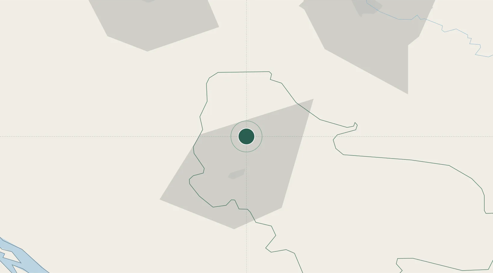
Cazin
44.9667°, 15.9333°
21,741
Population
2
Transport functions
Transport Functions
Port
Road
Hub Profile
Place type
District seat
Region
Federation of B&H
Population
21,741
Time zone
Europe/Sarajevo
Elevation
325 m
Location
Nearby Logistics Neighbours
Cities
- 1Stijena8 km
- 2Bosanska Krupa19 km
- 3Kriz56 km
- 4Petrinja58 km
- 5Prijedor60 km
Ports
- 1Senj81 km
- 2Zadar110 km
- 3Omisalj112 km
- 4Bakar116 km
- 5Rijeka Luka125 km
Airports
- 1Udbina Airfield47 km
- 2Zagreb Franjo Tuđman International Airport87 km
- 3Zadar Airport107 km
- 4Banja Luka International Airport107 km
- 5Cerklje ob Krki Air Base108 km
Trade Zones
- 1PJ Free Zone Zagreb93 km
- 2Free Zone Kukuljanovo119 km
- 3Krapina-Zagorje Free Zone132 km
- 4Port of Rijeka Free Zone134 km
- 5Sjever Free Zone151 km
DatabookThe Record of Consolidated Knowledge
Bosnia & Herzegovina beyond logistics?