Transport Functions
Rail
Road
Hub Profile
Place type
Provincial seat
Region
Sisak-Moslavina
Population
12,963
Time zone
Europe/Zagreb
Elevation
111 m
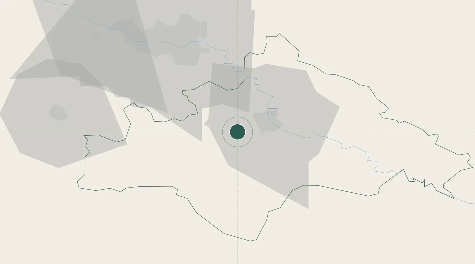
Location
Nearby Logistics Neighbours
Cities
- 1Kriz2 km
- 2Sisak9 km
- 3Ivanic-Grad31 km
- 4Rugvica34 km
- 5Velika Gorica34 km
Ports
- 1Senj118 km
- 2Bakar136 km
- 3Omisalj136 km
- 4Rijeka Luka144 km
- 5Zadar168 km
Airports
Trade Zones
- 1PJ Free Zone Zagreb51 km
- 2Krapina-Zagorje Free Zone85 km
- 3Sjever Free Zone95 km
- 4Free Zone Kukuljanovo138 km
- 5Duro Daković Free Zone139 km
DatabookThe Record of Consolidated Knowledge
Croatia beyond logistics?