UN/LOCODE hub · Armenia
AMBRD

Berd

40.8667°, 45.3833°
6,900
Population
1
Transport functions

Transport Functions

Multimodal
UN/LOCODE

Hub Profile

Place type
Provincial seat
GeoNames
Region
Tavush
GeoNames
Population
6,900
GeoNames
Time zone
Asia/Yerevan
GeoNames
Elevation
949 m
GeoNames

Location

Location of AMBRD
Natural Earth 10m (public domain) · Tavush · AMBRD · 40.87, 45.38GoogleOSMYandex

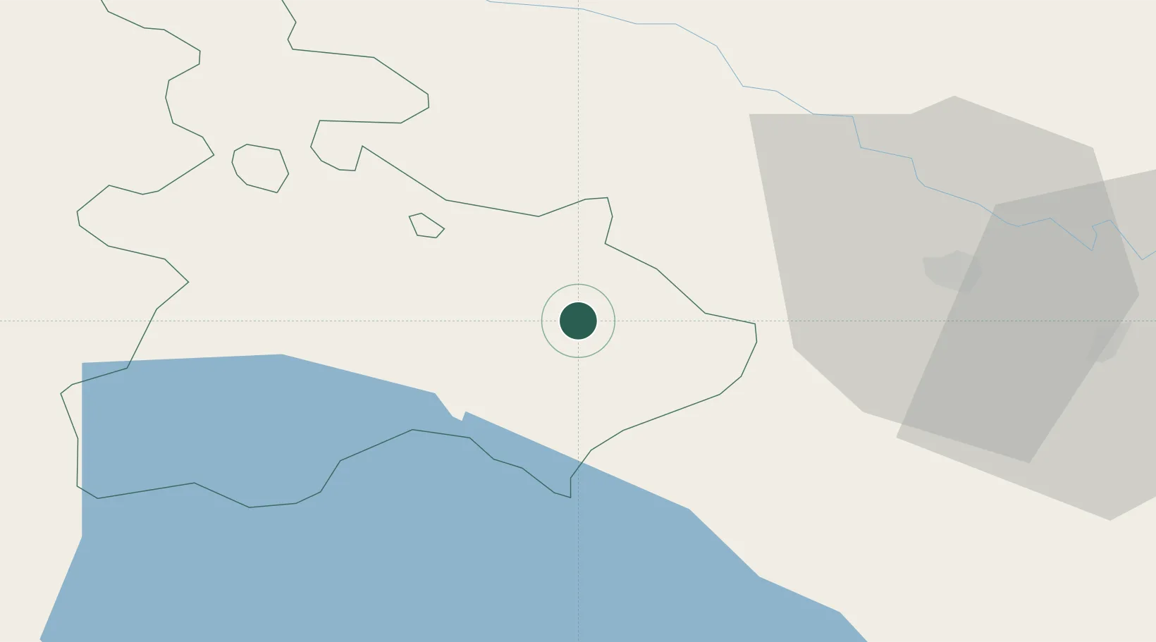
Nearby Logistics Neighbours

Cities
  1. 1Qazax26 km
  2. 2Dilijan46 km
  3. 3Hrazdan64 km
  4. 4Rustavi81 km
  5. 5Abovyan84 km
Nearest neighbours — logibook spatial index (haversine) over the source coordinates
Ports
  1. 1Batumi324 km
  2. 2Supsa Marine Terminal335 km
  3. 3Hopa339 km
  4. 4Rize409 km
  5. 5Sokhumi433 km
Nearest neighbours — logibook spatial index (haversine) over the source coordinates
Airports
  1. 1Dollyar Air Base48 km
  2. 2Ganja International Airport80 km
  3. 3Tbilisi Marneuli Air Base83 km
  4. 4Vaziani Air Base90 km
  5. 5Tbilisi Soganlug Air Base95 km
Nearest neighbours — logibook spatial index (haversine) over the source coordinates
Trade Zones
  1. 1Ecos Free Economic Zone64 km
  2. 2Jrvezh Engineering City100 km
  3. 3Alliance Free Zone106 km
  4. 4Tbilisi Free Industrial Zone113 km
  5. 5Meridian Free Economic Zone115 km
Nearest neighbours — logibook spatial index (haversine) over the source coordinates
DatabookThe Record of Consolidated Knowledge
Armenia beyond logistics?
Browse databook

All Sources

LocationsUN/LOCODE
UN/LOCODE — free
LocationsGeoNames
CC BY 4.0
Portsthe NGA World Port Index
Public domain (US gov)
AirportsOurAirports
Public domain
Trade Zonesthe World Bank SEZ database
CC BY 4.0
Trade ZonesOpen Zone Map
CC BY
← Armenia locations