Medium airport · Azerbaijan

Dollyar Air BaseUG11
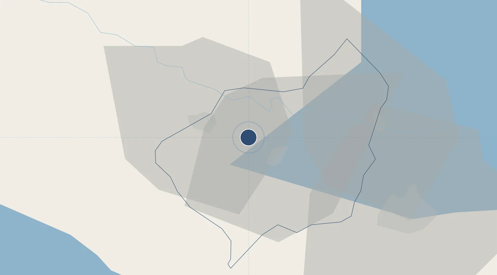
40.8876°, 45.9570°
8,182 ft
Longest runway
1
Runways
1,099 ft
Elevation

Runway & Layout

Dollyar Air Base runway & taxiway layout
Runway & taxiway layout — OpenStreetMap (ODbL) / OurAirports

Runways · 1

RunwayDimensions SurfaceTrue headingLit
10/28 8,182 × 135ft Concrete 110°
OurAirports

Airport Specifications

Airport class
Medium airport
OurAirports
Scheduled service
No
OurAirports
Runway surface
Concrete
OurAirports
Served city
Dollyar
OurAirports

Location

Location of UG11
Natural Earth 10m (public domain) · Şəmkir · UG11 · 40.89, 45.96GoogleOSMYandex

Nearby Logistics Neighbours

Airports
  1. 1Ganja International Airport35 km
  2. 2Bolshiye Shiraki Air Base65 km
  3. 3Zaqatala International Airport95 km
  4. 4Vaziani Air Base113 km
  5. 5Tbilisi Marneuli Air Base117 km
Nearest neighbours — logibook spatial index (haversine) over the source coordinates
Cities
  1. 1Ganja41 km
  2. 2Berd48 km
  3. 3Qazax56 km
  4. 4Dilijan93 km
  5. 5Kakheti98 km
Nearest neighbours — logibook spatial index (haversine) over the source coordinates
Ports
  1. 1Batumi370 km
  2. 2Supsa Marine Terminal378 km
  3. 3Hopa386 km
  4. 4Rize457 km
  5. 5Sokhumi473 km
Nearest neighbours — logibook spatial index (haversine) over the source coordinates
Trade Zones
  1. 1Mingachevir Industrial Park94 km
  2. 2Mingachevir High Technologies Park95 km
  3. 3Ecos Free Economic Zone109 km
  4. 4Tbilisi Free Industrial Zone137 km
  5. 5Jrvezh Engineering City139 km
Nearest neighbours — logibook spatial index (haversine) over the source coordinates
DatabookThe Record of Consolidated Knowledge
Azerbaijan beyond logistics?
Browse databook

All Sources

AirportsOurAirports
Public domain
Portsthe NGA World Port Index
Public domain (US gov)
LocationsUN/LOCODE
UN/LOCODE — free
Trade Zonesthe World Bank SEZ database
CC BY 4.0
Trade ZonesOpen Zone Map
CC BY
InfrastructureOpenStreetMap
ODbL 1.0
← Azerbaijan airports