Medium airport · Azerbaijan

Zaqatala International AirportUBBY
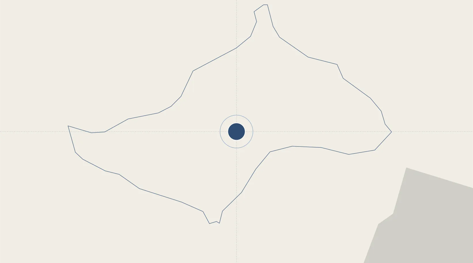
41.5578°, 46.6695°
9,843 ft
Longest runway
1
Runways
1,279 ft
Elevation

Runway & Layout

Zaqatala International Airport runway & taxiway layout
Runway & taxiway layout — OpenStreetMap (ODbL) / OurAirports

Runways · 1

RunwayDimensions SurfaceTrue headingLit
15/33 9,843 × 148ft Asphalt
OurAirports

Airport Specifications

IATA code
ZTU
OurAirports
ICAO code
UBBY
OurAirports
Airport class
Medium airport
OurAirports
Scheduled service
No
OurAirports
Runway surface
Asphalt
OurAirports
Served city
Zaqatala
OurAirports

Location

Location of UBBY
Natural Earth 10m (public domain) · Zaqatala · UBBY · 41.56, 46.67GoogleOSMYandex

Nearby Logistics Neighbours

Airports
  1. 1Bolshiye Shiraki Air Base32 km
  2. 2Dollyar Air Base95 km
  3. 3Ganja International Airport96 km
  4. 4Gabala International Airport121 km
  5. 5Vaziani Air Base137 km
Nearest neighbours — logibook spatial index (haversine) over the source coordinates
Cities
  1. 1Lagodekhi43 km
  2. 2Kakheti82 km
  3. 3Kvareli84 km
  4. 4Khachmaz89 km
  5. 5Ganja103 km
Nearest neighbours — logibook spatial index (haversine) over the source coordinates
Ports
  1. 1Supsa Marine Terminal415 km
  2. 2Batumi417 km
  3. 3Hopa439 km
  4. 4Sokhumi494 km
  5. 5Rize517 km
Nearest neighbours — logibook spatial index (haversine) over the source coordinates
Trade Zones
  1. 1Mingachevir Industrial Park95 km
  2. 2Mingachevir High Technologies Park95 km
  3. 3Tbilisi Free Industrial Zone152 km
  4. 4Ecos Free Economic Zone197 km
  5. 5Jrvezh Engineering City232 km
Nearest neighbours — logibook spatial index (haversine) over the source coordinates
DatabookThe Record of Consolidated Knowledge
Azerbaijan beyond logistics?
Browse databook

All Sources

AirportsOurAirports
Public domain
Portsthe NGA World Port Index
Public domain (US gov)
LocationsUN/LOCODE
UN/LOCODE — free
Trade Zonesthe World Bank SEZ database
CC BY 4.0
Trade ZonesOpen Zone Map
CC BY
InfrastructureOpenStreetMap
ODbL 1.0
← Azerbaijan airports