Medium airport · Georgia

Bolshiye Shiraki Air BaseUG28
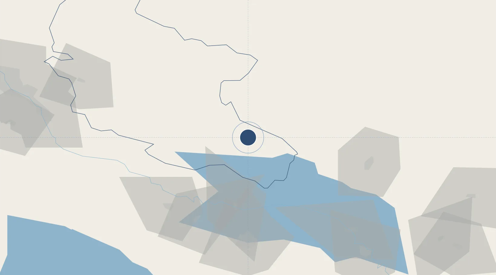
41.3795°, 46.3673°
8,862 ft
Longest runway
1
Runways
1,795 ft
Elevation

Runway & Layout

Bolshiye Shiraki Air Base runway & taxiway layout
Runway & taxiway layout — OpenStreetMap (ODbL) / OurAirports

Runways · 1

RunwayDimensions SurfaceTrue headingLit
13/31 8,862 × 130ft Concrete 136°
OurAirports

Airport Specifications

Airport class
Medium airport
OurAirports
Scheduled service
No
OurAirports
Runway surface
Concrete
OurAirports
Served city
Bolshiye Shiraki
OurAirports

Location

Location of UG28
Natural Earth 10m (public domain) · Kakheti · UG28 · 41.38, 46.37GoogleOSMYandex

Nearby Logistics Neighbours

Airports
  1. 1Zaqatala International Airport32 km
  2. 2Dollyar Air Base65 km
  3. 3Ganja International Airport71 km
  4. 4Vaziani Air Base115 km
  5. 5Tbilisi International Airport122 km
Nearest neighbours — logibook spatial index (haversine) over the source coordinates
Cities
  1. 1Lagodekhi49 km
  2. 2Kakheti68 km
  3. 3Kvareli79 km
  4. 4Ganja79 km
  5. 5Qazax91 km
Nearest neighbours — logibook spatial index (haversine) over the source coordinates
Ports
  1. 1Batumi394 km
  2. 2Supsa Marine Terminal394 km
  3. 3Hopa414 km
  4. 4Sokhumi478 km
  5. 5Rize491 km
Nearest neighbours — logibook spatial index (haversine) over the source coordinates
Trade Zones
  1. 1Mingachevir Industrial Park90 km
  2. 2Mingachevir High Technologies Park91 km
  3. 3Tbilisi Free Industrial Zone134 km
  4. 4Ecos Free Economic Zone165 km
  5. 5Jrvezh Engineering City199 km
Nearest neighbours — logibook spatial index (haversine) over the source coordinates
DatabookThe Record of Consolidated Knowledge
Georgia beyond logistics?
Browse databook

All Sources

AirportsOurAirports
Public domain
Portsthe NGA World Port Index
Public domain (US gov)
LocationsUN/LOCODE
UN/LOCODE — free
Trade Zonesthe World Bank SEZ database
CC BY 4.0
Trade ZonesOpen Zone Map
CC BY
← Georgia airports