Transport Functions
Multimodal
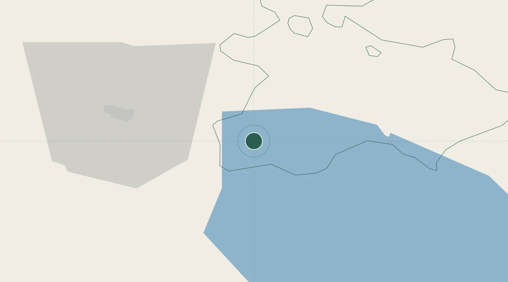
Hub Profile
Place type
Populated place
Region
Tavush
Population
16,400
Time zone
Asia/Yerevan
Elevation
1,345 m
Location
Nearby Logistics Neighbours
Ports
- 1Batumi288 km
- 2Hopa300 km
- 3Supsa Marine Terminal303 km
- 4Rize367 km
- 5Sokhumi407 km
Airports
- 1Erebuni Airport76 km
- 2Zvartnots International Airport76 km
- 3Tbilisi Marneuli Air Base81 km
- 4Shirak International Airport85 km
- 5Dollyar Air Base93 km
Trade Zones
- 1Ecos Free Economic Zone23 km
- 2Jrvezh Engineering City64 km
- 3Alliance Free Zone68 km
- 4Meridian Free Economic Zone76 km
- 5Gyumri Eurasian Logistic Park87 km
DatabookThe Record of Consolidated Knowledge
Armenia beyond logistics?