Transport Functions
Rail
Road
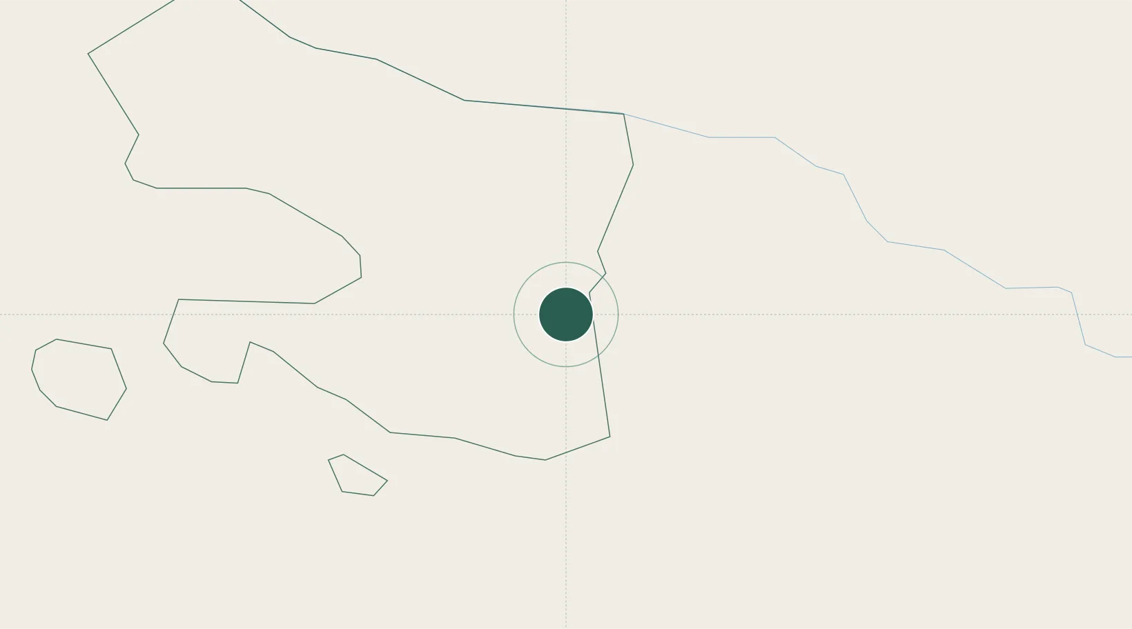
Hub Profile
Place type
Regional capital
Region
Qazax
Population
18,903
Time zone
Asia/Baku
Elevation
378 m
Location
Nearby Logistics Neighbours
Ports
- 1Batumi315 km
- 2Supsa Marine Terminal322 km
- 3Hopa332 km
- 4Rize405 km
- 5Sokhumi417 km
Airports
- 1Dollyar Air Base56 km
- 2Tbilisi Marneuli Air Base62 km
- 3Vaziani Air Base65 km
- 4Tbilisi Soganlug Air Base70 km
- 5Tbilisi International Airport71 km
Trade Zones
- 1Ecos Free Economic Zone80 km
- 2Tbilisi Free Industrial Zone88 km
- 3Jrvezh Engineering City119 km
- 4Alliance Free Zone124 km
- 5Gyumri Eurasian Logistic Park133 km
DatabookThe Record of Consolidated Knowledge
Azerbaijan beyond logistics?