Transport Functions
Port
Multimodal
Hub Profile
Place type
Urban district
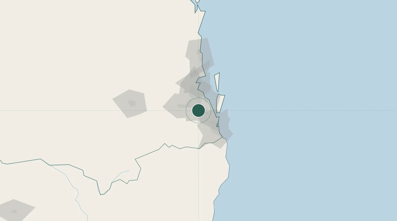
Region
Queensland
Population
12,067
Time zone
Australia/Brisbane
Elevation
41 m
Location
Nearby Logistics Neighbours
Cities
- 1Meadowbrook5 km
- 2Sunnybank12 km
- 3Beenleigh12 km
- 4Archerfield15 km
- 5Rocklea16 km
Airports
- 1Brisbane International Airport33 km
- 2RAAF Base Amberley37 km
- 3Gold Coast Airport68 km
- 4Sunshine Coast Airport121 km
- 5Toowoomba Wellcamp Airport128 km
Trade Zones
DatabookThe Record of Consolidated Knowledge
Australia beyond logistics?