UN/LOCODE hub · Australia
AUFTD
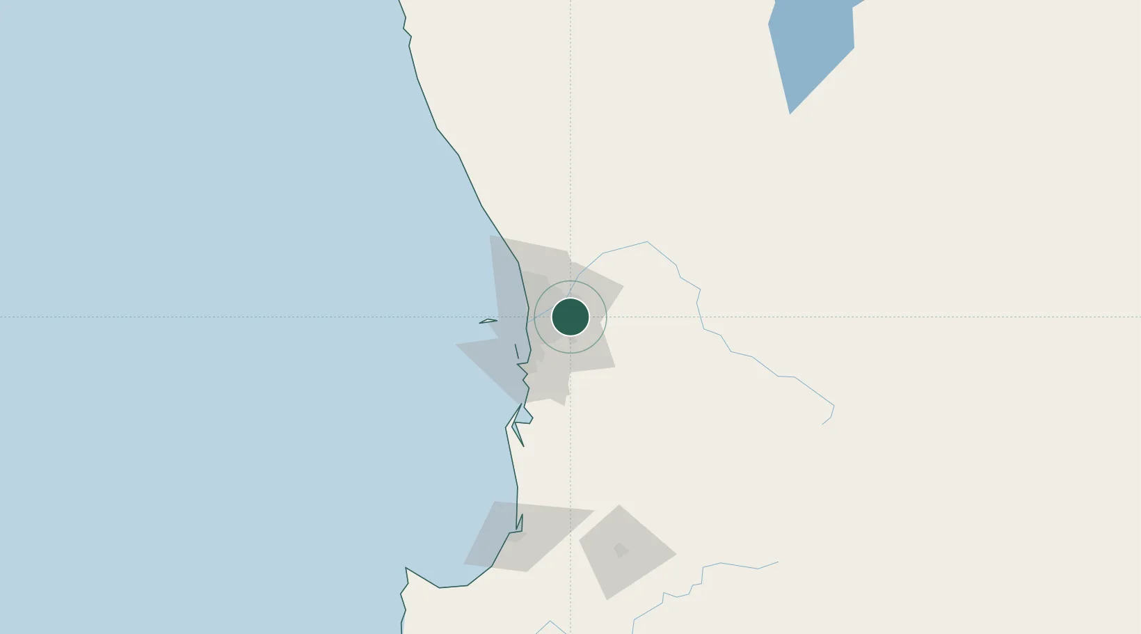
Forrestfield
-31.9833°, 116.0000°
13,181
Population
1
Transport functions
Transport Functions
Multimodal
Hub Profile
Place type
Urban district
Region
Western Australia
Population
13,181
Time zone
Australia/Perth
Elevation
44 m
Location
Nearby Logistics Neighbours
Airports
- 1Perth International Airport6 km
- 2Perth Jandakot Airport17 km
- 3RAAF Base Pearce35 km
- 4Busselton Margaret River Regional Airport198 km
- 5Karara Airport315 km
Trade Zones
- 1KEK Mandalika2567 km
- 2Oecusse Ambeno Enclave Special Zone For Social Market Economy (Zeesm)2660 km
- 3KEK Singhasari2702 km
- 4Pasuruan Industrial Estate Rembang2731 km
- 5Ngoro Industrial Park2738 km
DatabookThe Record of Consolidated Knowledge
Australia beyond logistics?