UN/LOCODE hub · Australia
AUKST

Kelmscot

-32.1167°, 116.0167°
1
Transport functions

Transport Functions

Multimodal
UN/LOCODE

Hub Profile

Region
WA
GeoNames

Location

Location of AUKST
Natural Earth 10m (public domain) · WA · AUKST · -32.12, 116.02GoogleOSMYandex

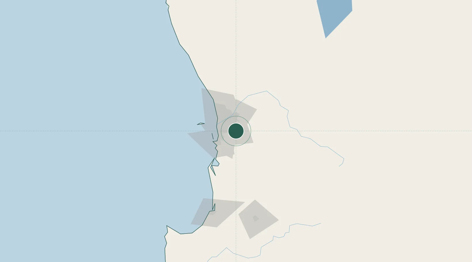
Nearby Logistics Neighbours

Cities
  1. 1Armadale4 km
  2. 2Oakford13 km
  3. 3Forrestfield15 km
  4. 4Wilson16 km
  5. 5Kewdale16 km
Nearest neighbours — logibook spatial index (haversine) over the source coordinates
Ports
  1. 1Fremantle26 km
  2. 2Bunbury138 km
  3. 3Albany368 km
  4. 4Geraldton395 km
  5. 5Esperance582 km
Nearest neighbours — logibook spatial index (haversine) over the source coordinates
Airports
  1. 1Perth Jandakot Airport13 km
  2. 2Perth International Airport20 km
  3. 3RAAF Base Pearce50 km
  4. 4Busselton Margaret River Regional Airport184 km
  5. 5Karara Airport329 km
Nearest neighbours — logibook spatial index (haversine) over the source coordinates
Trade Zones
  1. 1KEK Mandalika2582 km
  2. 2Oecusse Ambeno Enclave Special Zone For Social Market Economy (Zeesm)2673 km
  3. 3KEK Singhasari2717 km
  4. 4Pasuruan Industrial Estate Rembang2745 km
  5. 5Ngoro Industrial Park2753 km
Nearest neighbours — logibook spatial index (haversine) over the source coordinates
DatabookThe Record of Consolidated Knowledge
Australia beyond logistics?
Browse databook

All Sources

LocationsUN/LOCODE
UN/LOCODE — free
Portsthe NGA World Port Index
Public domain (US gov)
AirportsOurAirports
Public domain
Trade Zonesthe World Bank SEZ database
CC BY 4.0
Trade ZonesOpen Zone Map
CC BY
← Australia locations