Transport Functions
Multimodal
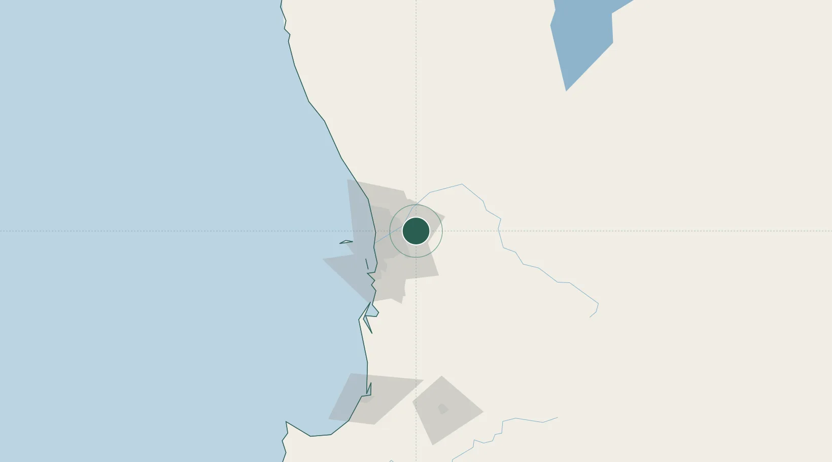
Hub Profile
Place type
Populated place
Region
Western Australia
Population
3,557
Time zone
Australia/Perth
Elevation
143 m
Location
Nearby Logistics Neighbours
Cities
- 1Boya4 km
- 2Forrestfield11 km
- 3Caversham12 km
- 4Kewdale13 km
- 5Ashfield14 km
Airports
- 1Perth International Airport11 km
- 2Perth Jandakot Airport28 km
- 3RAAF Base Pearce28 km
- 4Busselton Margaret River Regional Airport207 km
- 5Karara Airport306 km
Trade Zones
- 1KEK Mandalika2560 km
- 2Oecusse Ambeno Enclave Special Zone For Social Market Economy (Zeesm)2650 km
- 3KEK Singhasari2696 km
- 4Pasuruan Industrial Estate Rembang2724 km
- 5Ngoro Industrial Park2732 km
DatabookThe Record of Consolidated Knowledge
Australia beyond logistics?