UN/LOCODE hub · Australia
AUAIR

Airlie Terminal

-21.3333°, 115.1667°
1
Transport functions

Transport Functions

Port
UN/LOCODE

Hub Profile

Region
WA
GeoNames

Location

Location of AUAIR
Natural Earth 10m (public domain) · WA · AUAIR · -21.33, 115.17GoogleOSMYandex

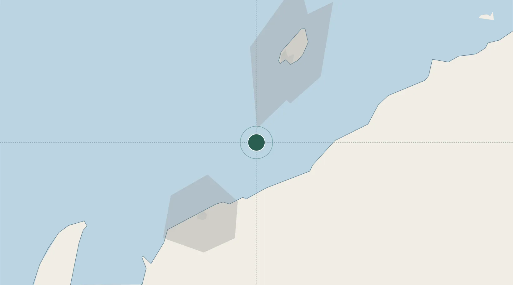
Nearby Logistics Neighbours

Cities
  1. 1Thevenard Island23 km
  2. 2Onslow36 km
  3. 3Ashburton43 km
  4. 4Woollybutt (Oil facility)44 km
  5. 5Griffin Venture (oil Terminal)57 km
Nearest neighbours — logibook spatial index (haversine) over the source coordinates
Ports
  1. 1Onslow36 km
  2. 2Dampier179 km
  3. 3Port Walcott223 km
  4. 4Cape Cuvier369 km
  5. 5Port Hedland373 km
Nearest neighbours — logibook spatial index (haversine) over the source coordinates
Airports
  1. 1Learmonth Airport150 km
  2. 2Karratha Airport181 km
  3. 3Eliwana215 km
  4. 4Paraburdoo Airport335 km
  5. 5Port Hedland International Airport375 km
Nearest neighbours — logibook spatial index (haversine) over the source coordinates
Trade Zones
  1. 1KEK Mandalika1388 km
  2. 2KEK Singhasari1520 km
  3. 3Pasuruan Industrial Estate Rembang1547 km
  4. 4Ngoro Industrial Park1556 km
  5. 5Safe N Lock Industrial Estate1564 km
Nearest neighbours — logibook spatial index (haversine) over the source coordinates
DatabookThe Record of Consolidated Knowledge
Australia beyond logistics?
Browse databook

All Sources

LocationsUN/LOCODE
UN/LOCODE — free
Portsthe NGA World Port Index
Public domain (US gov)
AirportsOurAirports
Public domain
Trade Zonesthe World Bank SEZ database
CC BY 4.0
Trade ZonesOpen Zone Map
CC BY
← Australia locations