Medium airport · Australia
Karratha AirportYPKA
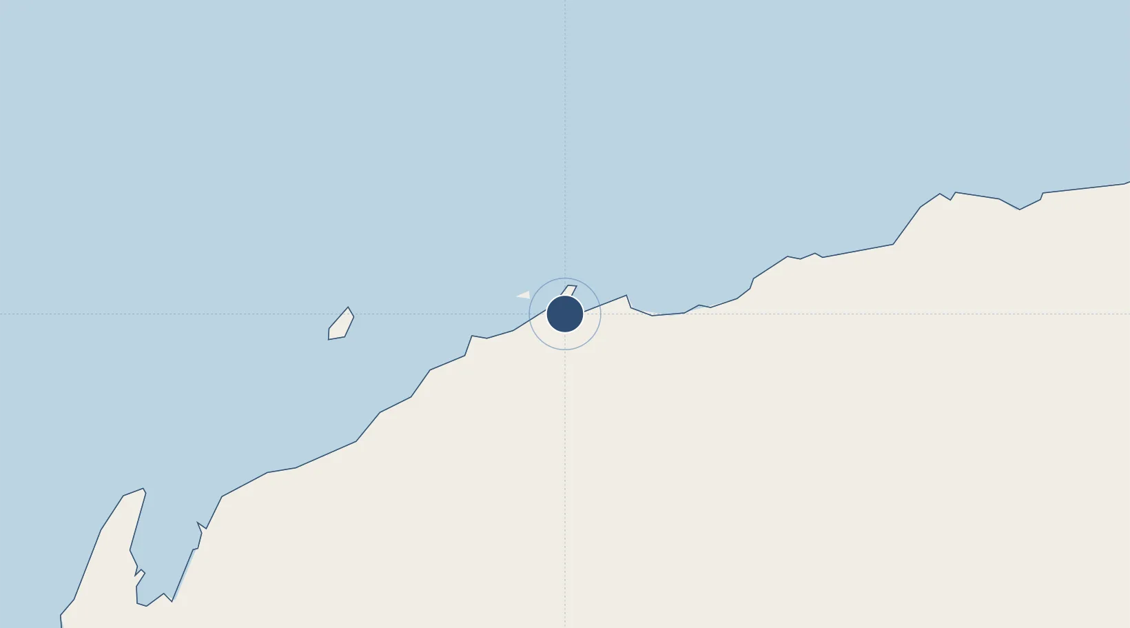
-20.7122°, 116.7730°
7,480 ft
Longest runway
1
Runways
29 ft
Elevation
Runway & Layout

Radio Frequencies
CTAF
127.35 MHz
FSS
122.4 MHz
MELBOURNE CNTR
Navaids
KA VOR-DME Karratha 117.30 MHz
KA NDB Karratha 404 kHz
Runways · 1
| Runway | Dimensions | Surface | True heading | Lit |
|---|---|---|---|---|
| 08/26 | 7,480 × 148ft | Asphalt | 083° | ✓ |
Airport Specifications
IATA code
KTA
ICAO code
YPKA
Airport class
Medium airport
Scheduled service
Yes
Runway surface
Asphalt
Served city
Karratha
Location
Nearby Logistics Neighbours
Airports
- 1Eliwana191 km
- 2Port Hedland International Airport197 km
- 3Paraburdoo Airport291 km
- 4Learmonth Airport325 km
- 5Christmas Creek Airport349 km
Cities
- 1Withnell Bay14 km
- 2Cossack Pioneer (oil Terminal)130 km
- 3Airlie Terminal181 km
- 4Port Hedland194 km
- 5Woollybutt (Oil facility)202 km
Ports
- 1Dampier11 km
- 2Port Walcott43 km
- 3Port Hedland194 km
- 4Onslow202 km
- 5Cape Cuvier523 km
Trade Zones
- 1KEK Mandalika1315 km
- 2KEK Singhasari1494 km
- 3Oecusse Ambeno Enclave Special Zone For Social Market Economy (Zeesm)1501 km
- 4Pasuruan Industrial Estate Rembang1518 km
- 5Ngoro Industrial Park1529 km
DatabookThe Record of Consolidated Knowledge
Australia beyond logistics?