Small airport · Australia
Christmas Creek AirportYCHK
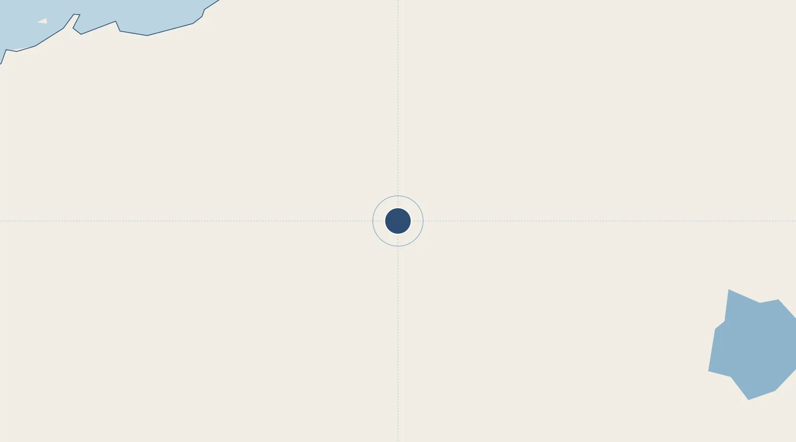
-22.3543°, 119.6426°
8,202 ft
Longest runway
1
Runways
1,462 ft
Elevation
Runway & Layout

Runways · 1
| Runway | Dimensions | Surface | True heading | Lit |
|---|---|---|---|---|
| 09/27 | 8,202 × 148ft | Asphalt | — | — |
Airport Specifications
IATA code
CKW
ICAO code
YCHK
Airport class
Small airport
Scheduled service
Yes
Runway surface
Asphalt
Served city
Christmas Creek Mine
Location
Nearby Logistics Neighbours
Airports
- 1Newman Airport119 km
- 2Paraburdoo Airport215 km
- 3Port Hedland International Airport243 km
- 4Telfer Airport276 km
- 5Eliwana283 km
Cities
- 1Port Hedland245 km
- 2Withnell Bay355 km
- 3Cossack Pioneer (oil Terminal)453 km
- 4Onslow475 km
- 5Airlie Terminal476 km
Ports
- 1Port Hedland252 km
- 2Port Walcott317 km
- 3Dampier358 km
- 4Onslow475 km
- 5Broome558 km
Trade Zones
- 1Oecusse Ambeno Enclave Special Zone For Social Market Economy (Zeesm)1531 km
- 2KEK Mandalika1539 km
- 3Atauro Special Economic Zone1696 km
- 4KEK Singhasari1775 km
- 5Pasuruan Industrial Estate Rembang1795 km
DatabookThe Record of Consolidated Knowledge
Australia beyond logistics?