Transport Functions
Port
Road
Airport
Hub Profile
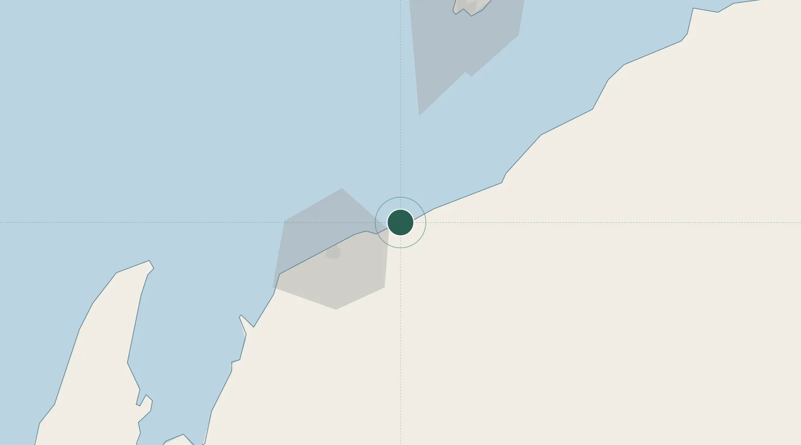
Place type
Populated place
Region
Western Australia
Population
1,157
Time zone
Australia/Perth
Elevation
7 m
Location
Nearby Logistics Neighbours
Cities
- 1Ashburton11 km
- 2Thevenard Island25 km
- 3Airlie Terminal36 km
- 4Griffin Venture (oil Terminal)68 km
- 5Woollybutt (Oil facility)71 km
Ports
- 1Dampier202 km
- 2Port Walcott243 km
- 3Cape Cuvier335 km
- 4Port Hedland391 km
- 5Useless Loop522 km
Airports
- 1Learmonth Airport123 km
- 2Karratha Airport202 km
- 3Eliwana204 km
- 4Paraburdoo Airport320 km
- 5Carnarvon Airport388 km
Trade Zones
- 1KEK Mandalika1424 km
- 2KEK Singhasari1554 km
- 3Pasuruan Industrial Estate Rembang1581 km
- 4Ngoro Industrial Park1589 km
- 5Safe N Lock Industrial Estate1598 km
DatabookThe Record of Consolidated Knowledge
Australia beyond logistics?