Transport Functions
Port
Hub Profile
Region
WA
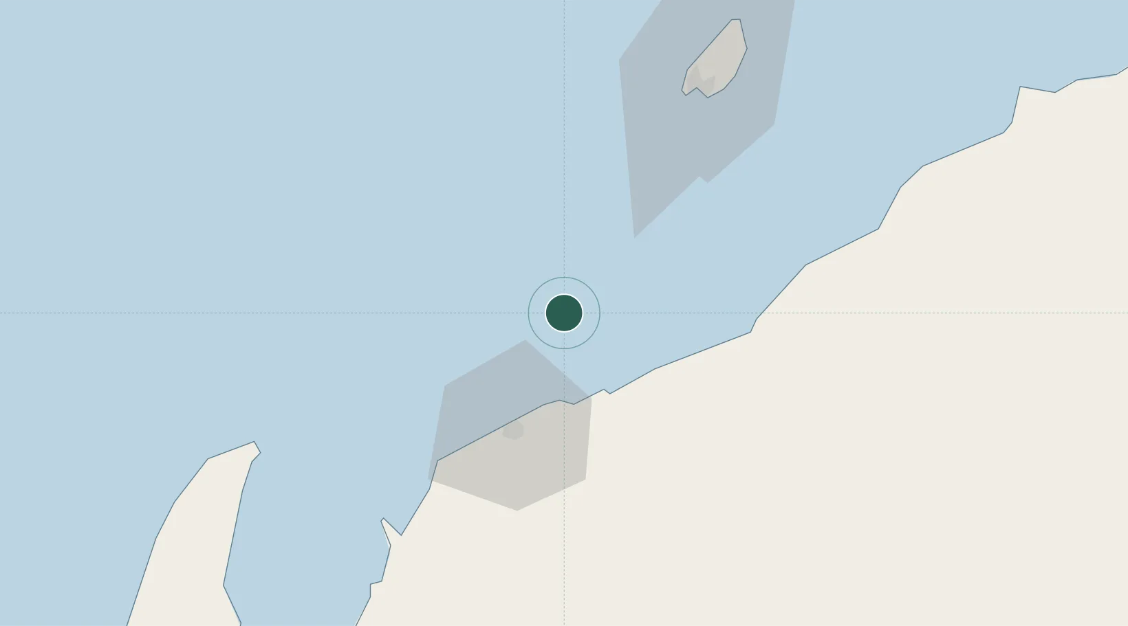
Location
Nearby Logistics Neighbours
Cities
- 1Airlie Terminal23 km
- 2Onslow25 km
- 3Ashburton26 km
- 4Griffin Venture (oil Terminal)45 km
- 5Woollybutt (Oil facility)46 km
Ports
- 1Onslow25 km
- 2Dampier202 km
- 3Port Walcott245 km
- 4Cape Cuvier349 km
- 5Port Hedland395 km
Airports
- 1Learmonth Airport127 km
- 2Karratha Airport203 km
- 3Eliwana225 km
- 4Paraburdoo Airport343 km
- 5Port Hedland International Airport397 km
Trade Zones
- 1KEK Mandalika1403 km
- 2KEK Singhasari1530 km
- 3Pasuruan Industrial Estate Rembang1557 km
- 4Ngoro Industrial Park1565 km
- 5Safe N Lock Industrial Estate1574 km
DatabookThe Record of Consolidated Knowledge
Australia beyond logistics?