Medium airport · Australia
Paraburdoo AirportYPBO
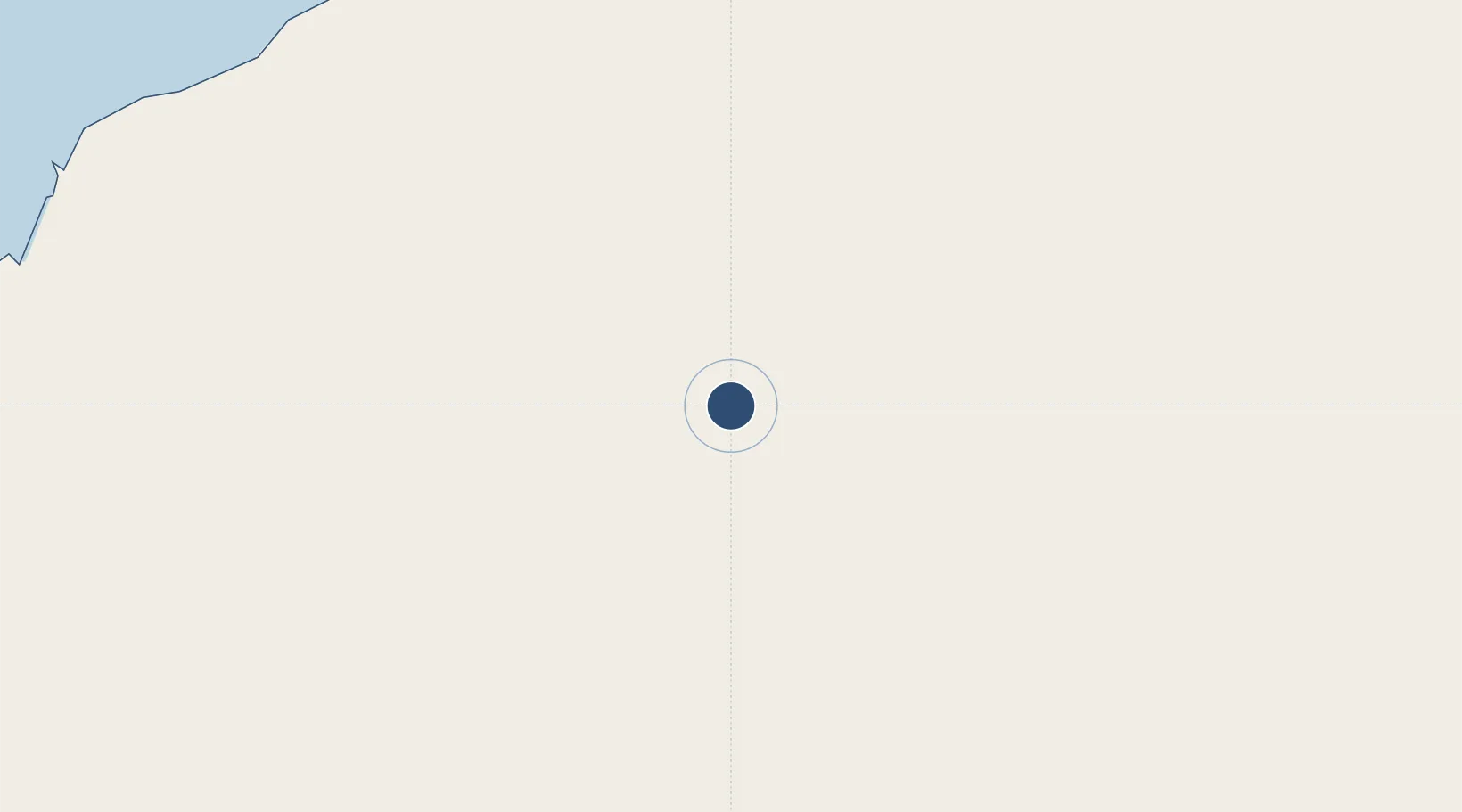
-23.1711°, 117.7450°
6,995 ft
Longest runway
1
Runways
1,406 ft
Elevation
Runway & Layout

Radio Frequencies
CTAF
126.7 MHz
FSS
125.7 MHz
MELBOURNE CNTR
Navaids
PBO VOR-DME Paraburdoo 116.90 MHz
PBO NDB Paraburdoo 278 kHz
Runways · 1
| Runway | Dimensions | Surface | True heading | Lit |
|---|---|---|---|---|
| 06/24 | 6,995 × 148ft | Asphalt | 065° | ✓ |
Airport Specifications
IATA code
PBO
ICAO code
YPBO
Airport class
Medium airport
Scheduled service
Yes
Runway surface
Asphalt
Served city
Paraburdoo
Location
Nearby Logistics Neighbours
Airports
- 1Eliwana121 km
- 2Newman Airport212 km
- 3Christmas Creek Airport215 km
- 4Karratha Airport291 km
- 5Port Hedland International Airport323 km
Cities
- 1Withnell Bay304 km
- 2Onslow320 km
- 3Port Hedland323 km
- 4Ashburton327 km
- 5Airlie Terminal335 km
Ports
- 1Port Walcott286 km
- 2Dampier302 km
- 3Onslow320 km
- 4Port Hedland329 km
- 5Cape Cuvier459 km
Trade Zones
- 1KEK Mandalika1595 km
- 2Oecusse Ambeno Enclave Special Zone For Social Market Economy (Zeesm)1689 km
- 3KEK Singhasari1785 km
- 4Pasuruan Industrial Estate Rembang1809 km
- 5Ngoro Industrial Park1820 km
DatabookThe Record of Consolidated Knowledge
Australia beyond logistics?