Medium airport · Australia
EliwanaYEWA
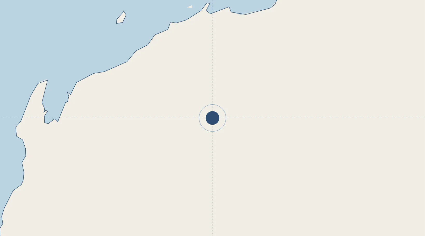
-22.4284°, 116.8879°
8,202 ft
Longest runway
1
Runways
1,576 ft
Elevation
Runway & Layout

Runways · 1
| Runway | Dimensions | Surface | True heading | Lit |
|---|---|---|---|---|
| 28/10 | 8,202 × 98ft | Asphalt | 279° | — |
Airport Specifications
IATA code
WHB
ICAO code
YEWA
Airport class
Medium airport
Scheduled service
No
Runway surface
Asphalt
Location
Nearby Logistics Neighbours
Airports
- 1Paraburdoo Airport121 km
- 2Karratha Airport191 km
- 3Christmas Creek Airport283 km
- 4Learmonth Airport289 km
- 5Port Hedland International Airport290 km
Cities
- 1Onslow204 km
- 2Withnell Bay205 km
- 3Ashburton212 km
- 4Airlie Terminal215 km
- 5Thevenard Island225 km
Ports
- 1Port Walcott200 km
- 2Dampier200 km
- 3Onslow204 km
- 4Port Hedland293 km
- 5Cape Cuvier409 km
Trade Zones
- 1KEK Mandalika1506 km
- 2Oecusse Ambeno Enclave Special Zone For Social Market Economy (Zeesm)1657 km
- 3KEK Singhasari1680 km
- 4Pasuruan Industrial Estate Rembang1705 km
- 5Ngoro Industrial Park1715 km
DatabookThe Record of Consolidated Knowledge
Australia beyond logistics?