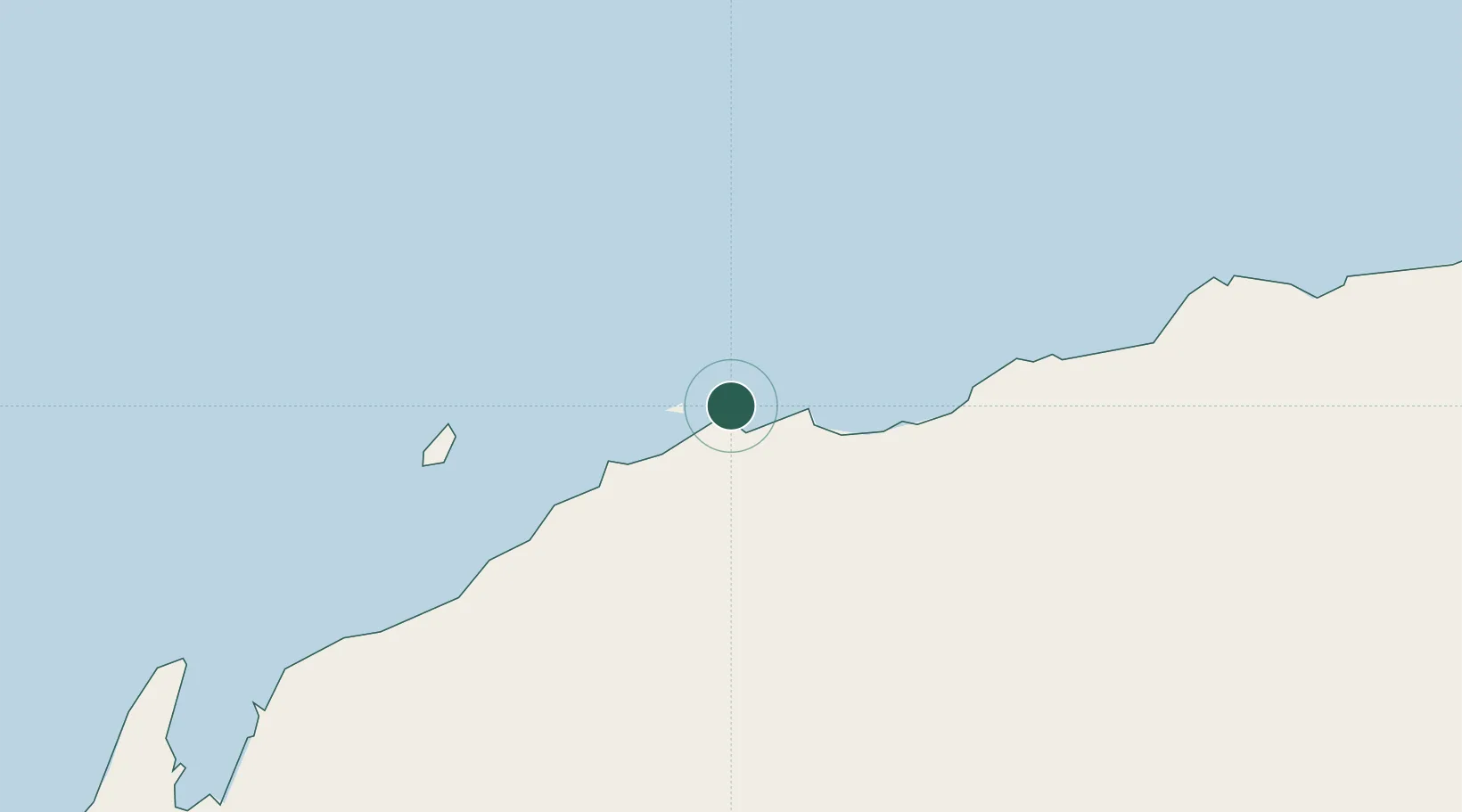
UN/LOCODE hub · Australia
AUWNB

Withnell Bay

-20.5833°, 116.7833°
2
Transport functions

Transport Functions

Port
Road
UN/LOCODE

Hub Profile

Region
WA
GeoNames

Location

Location of AUWNB
Natural Earth 10m (public domain) · WA · AUWNB · -20.58, 116.78GoogleOSMYandex

Nearby Logistics Neighbours

Cities
  1. 1Cossack Pioneer (oil Terminal)117 km
  2. 2Airlie Terminal187 km
  3. 3Port Hedland191 km
  4. 4Woollybutt (Oil facility)206 km
  5. 5Thevenard Island210 km
Nearest neighbours — logibook spatial index (haversine) over the source coordinates
Ports
  1. 1Dampier9 km
  2. 2Port Walcott42 km
  3. 3Port Hedland190 km
  4. 4Onslow211 km
  5. 5Cape Cuvier534 km
Nearest neighbours — logibook spatial index (haversine) over the source coordinates
Airports
  1. 1Karratha Airport14 km
  2. 2Port Hedland International Airport194 km
  3. 3Eliwana205 km
  4. 4Paraburdoo Airport304 km
  5. 5Learmonth Airport334 km
Nearest neighbours — logibook spatial index (haversine) over the source coordinates
Trade Zones
  1. 1KEK Mandalika1301 km
  2. 2KEK Singhasari1481 km
  3. 3Oecusse Ambeno Enclave Special Zone For Social Market Economy (Zeesm)1488 km
  4. 4Pasuruan Industrial Estate Rembang1505 km
  5. 5Ngoro Industrial Park1516 km
Nearest neighbours — logibook spatial index (haversine) over the source coordinates
DatabookThe Record of Consolidated Knowledge
Australia beyond logistics?
Browse databook

All Sources

LocationsUN/LOCODE
UN/LOCODE — free
Portsthe NGA World Port Index
Public domain (US gov)
AirportsOurAirports
Public domain
Trade Zonesthe World Bank SEZ database
CC BY 4.0
Trade ZonesOpen Zone Map
CC BY
← Australia locations