Transport Functions
Multimodal
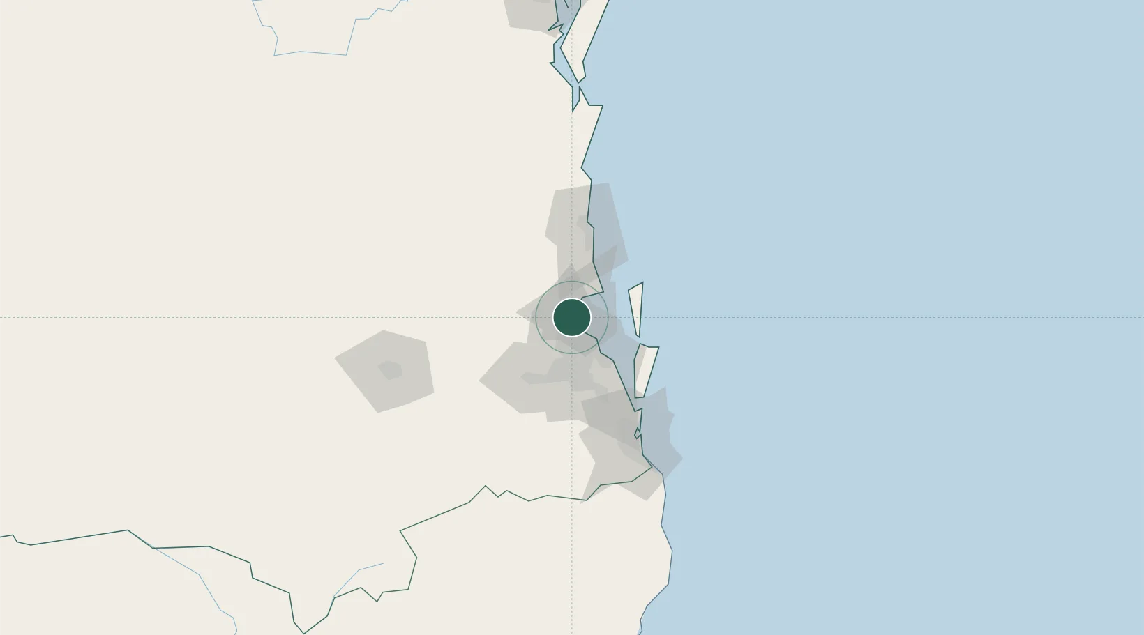
Hub Profile
Place type
Populated place
Region
Queensland
Population
8,271
Time zone
Australia/Brisbane
Elevation
34 m
Location
Nearby Logistics Neighbours
Cities
- 1Boondall12 km
- 2Albany Creek13 km
- 3Geebung15 km
- 4Brisbane15 km
- 5Northgate17 km
Airports
- 1Brisbane International Airport20 km
- 2RAAF Base Amberley54 km
- 3Sunshine Coast Airport72 km
- 4Gold Coast Airport114 km
- 5Toowoomba Wellcamp Airport126 km
Trade Zones
DatabookThe Record of Consolidated Knowledge
Australia beyond logistics?