Transport Functions
Rail
Road
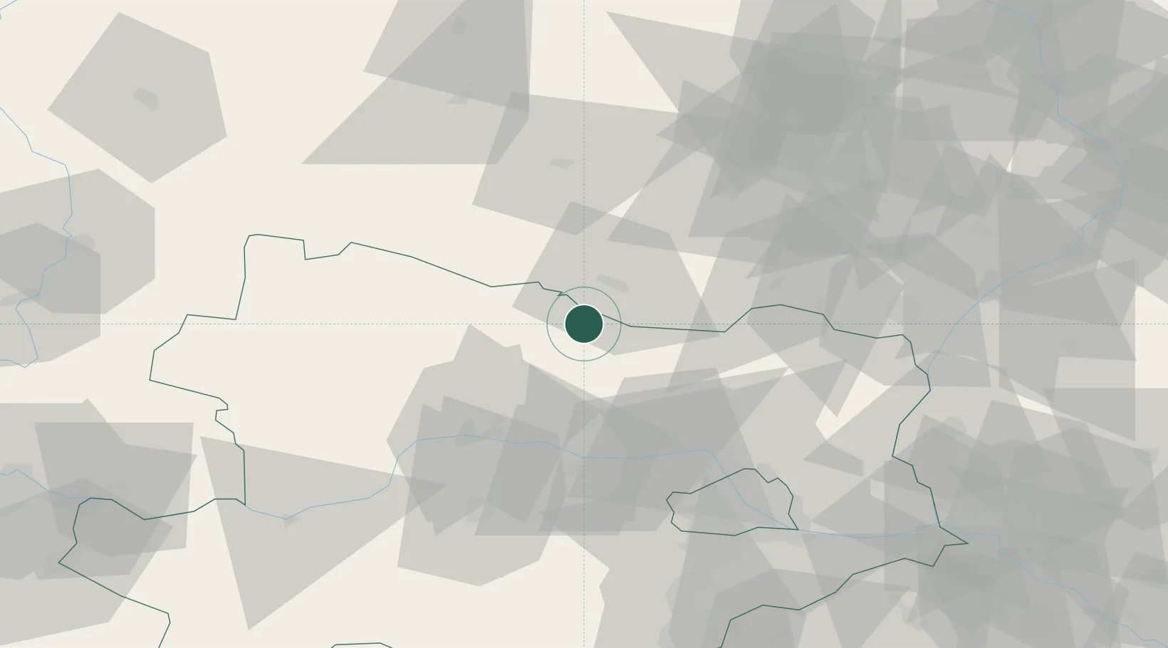
Hub Profile
Place type
District seat
Region
Lower Austria
Population
2,493
Time zone
Europe/Vienna
Elevation
250 m
Location
Nearby Logistics Neighbours
Cities
- 1Schrattenthal7 km
- 2Jetzelsdorf9 km
- 3Haugsdorf10 km
- 4Limberg20 km
- 5Geras21 km
Ports
- 1Monfalcone376 km
- 2Trieste383 km
- 3Muggia387 km
- 4Koper393 km
- 5Nogaro393 km
Airports
- 1Náměšť Air Base48 km
- 2Brno-Tuřany Airport70 km
- 3Vienna International Airport85 km
- 4Malacky/Kuchyňa Air Base94 km
- 5Wiener Neustadt East Airport103 km
Trade Zones
DatabookThe Record of Consolidated Knowledge
Austria beyond logistics?