Transport Functions
Port
Hub Profile
Place type
Populated place
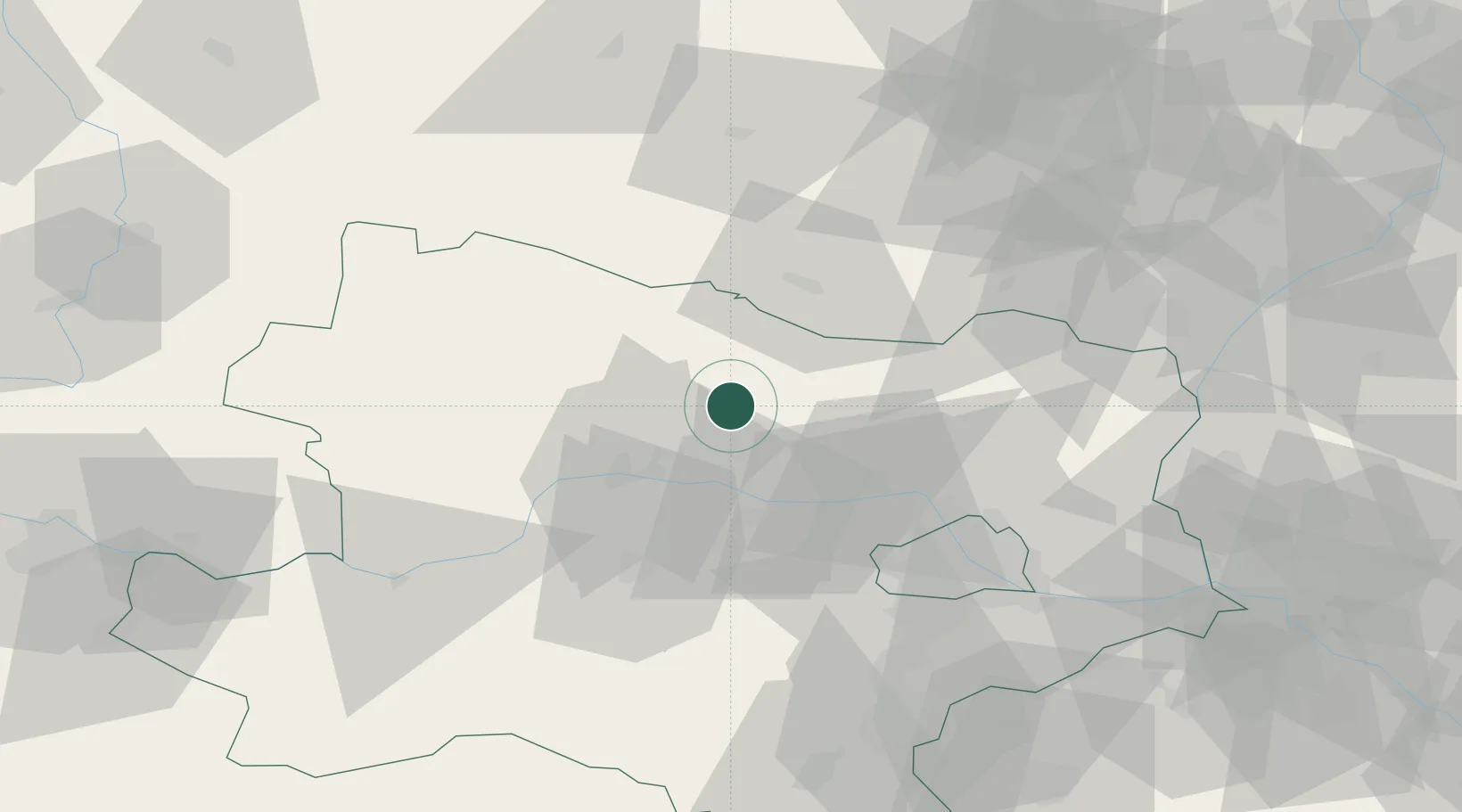
Region
Lower Austria
Population
305
Time zone
Europe/Vienna
Elevation
314 m
Location
Nearby Logistics Neighbours
Cities
- 1Neudegg11 km
- 2Schrattenthal13 km
- 3Engelmannsbrunn15 km
- 4Strass im Strassertale16 km
- 5Kirchberg am Wagram17 km
Ports
- 1Monfalcone357 km
- 2Trieste363 km
- 3Muggia368 km
- 4Koper374 km
- 5Nogaro375 km
Airports
- 1Náměšť Air Base68 km
- 2Vienna International Airport74 km
- 3Wiener Neustadt West Airport87 km
- 4Wiener Neustadt East Airport87 km
- 5Brno-Tuřany Airport88 km
Trade Zones
DatabookThe Record of Consolidated Knowledge
Austria beyond logistics?