UN/LOCODE hub · Austria
ATZAB

Wimpassing an der Laitha

47.9167°, 16.4167°
1
Transport functions

Transport Functions

Multimodal
UN/LOCODE

Hub Profile

Region
1
GeoNames

Location

Location of ATZAB
Natural Earth 10m (public domain) · 1 · ATZAB · 47.92, 16.42GoogleOSMYandex

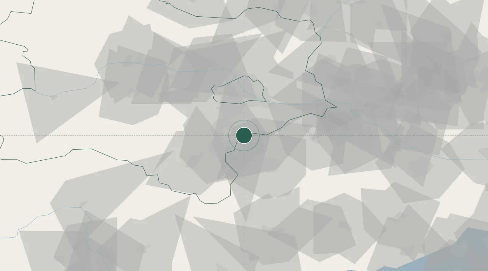
Nearby Logistics Neighbours

Cities
  1. 1Ebreichsdorf4 km
  2. 2Müllendorf8 km
  3. 3Tattendorf9 km
  4. 4Oberwaltersdorf11 km
  5. 5Grosshöflein11 km
Nearest neighbours — logibook spatial index (haversine) over the source coordinates
Ports
  1. 1Monfalcone322 km
  2. 2Trieste324 km
  3. 3Bakar325 km
  4. 4Rijeka Luka325 km
  5. 5Muggia327 km
Nearest neighbours — logibook spatial index (haversine) over the source coordinates
Airports
  1. 1Wiener Neustadt East Airport14 km
  2. 2Wiener Neustadt West Airport17 km
  3. 3Vienna International Airport24 km
  4. 4M. R. Štefánik Airport66 km
  5. 5Malacky/Kuchyňa Air Base75 km
Nearest neighbours — logibook spatial index (haversine) over the source coordinates
Trade Zones
  1. 1Veselí nad Moravou Industrial Zone136 km
  2. 2Černovická Terasa Industrial Zone141 km
  3. 3Holešov Industrial Zone177 km
  4. 4Sjever Free Zone181 km
  5. 5Krapina-Zagorje Free Zone201 km
Nearest neighbours — logibook spatial index (haversine) over the source coordinates
DatabookThe Record of Consolidated Knowledge
Austria beyond logistics?
Browse databook

All Sources

LocationsUN/LOCODE
UN/LOCODE — free
Portsthe NGA World Port Index
Public domain (US gov)
AirportsOurAirports
Public domain
Trade Zonesthe World Bank SEZ database
CC BY 4.0
Trade ZonesOpen Zone Map
CC BY
← Austria locations