Transport Functions
Rail
Road
Multimodal
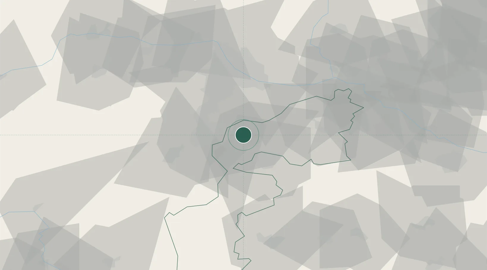
Location
Nearby Logistics Neighbours
Cities
- 1Grosshöflein2 km
- 2Wulkaprodersdorf6 km
- 3Wimpassing an der Laitha8 km
- 4Stottera9 km
- 5Schutzen am Gebirge11 km
Ports
- 1Monfalcone319 km
- 2Bakar320 km
- 3Rijeka Luka320 km
- 4Trieste321 km
- 5Muggia324 km
Airports
Trade Zones
- 1Veselí nad Moravou Industrial Zone140 km
- 2Černovická Terasa Industrial Zone148 km
- 3Sjever Free Zone174 km
- 4Holešov Industrial Zone182 km
- 5Krapina-Zagorje Free Zone194 km
DatabookThe Record of Consolidated Knowledge
Austria beyond logistics?