Transport Functions
Rail
Road
Postal
Hub Profile
Place type
District seat
Region
Lower Austria
Population
1,439
Time zone
Europe/Vienna
Elevation
229 m
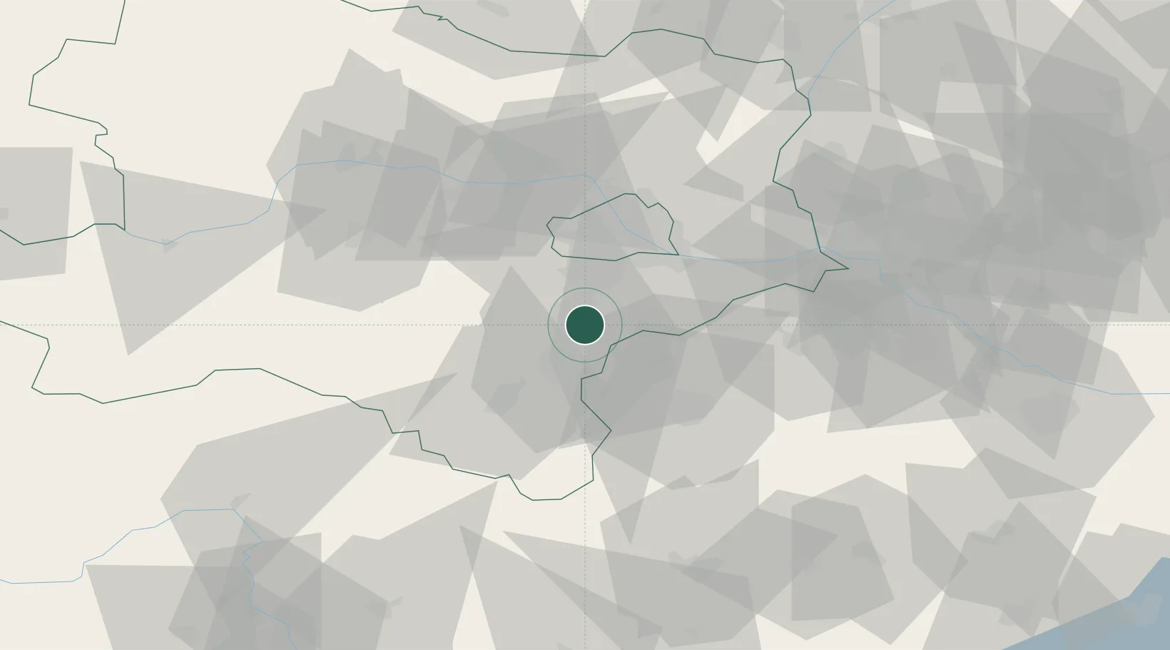
Location
Nearby Logistics Neighbours
Cities
- 1Teesdorf1 km
- 2Oberwaltersdorf4 km
- 3Trumau6 km
- 4Kottingbrunn7 km
- 5Ebreichsdorf7 km
Ports
- 1Monfalcone319 km
- 2Trieste321 km
- 3Rijeka Luka324 km
- 4Bakar324 km
- 5Muggia325 km
Airports
Trade Zones
DatabookThe Record of Consolidated Knowledge
Austria beyond logistics?