Transport Functions
Port
Road
Hub Profile
Place type
District seat
Region
Lower Austria
Population
5,236
Time zone
Europe/Vienna
Elevation
199 m
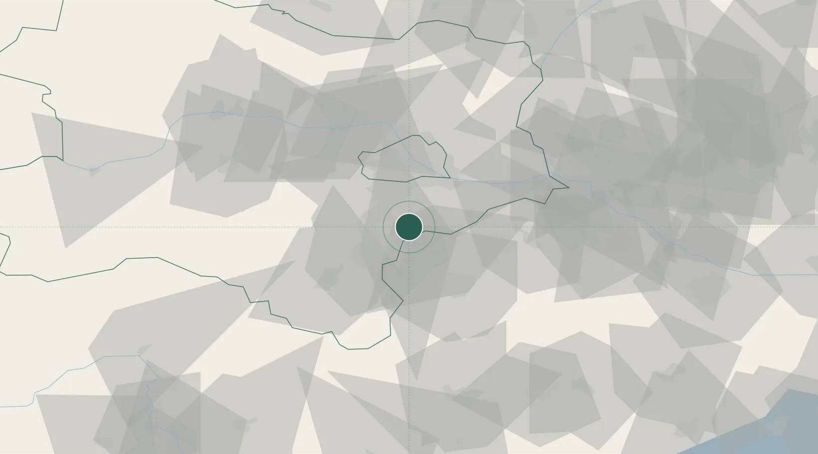
Location
Nearby Logistics Neighbours
Cities
- 1Wimpassing an der Laitha4 km
- 2Oberwaltersdorf7 km
- 3Tattendorf7 km
- 4Trumau8 km
- 5Teesdorf9 km
Ports
- 1Monfalcone324 km
- 2Trieste326 km
- 3Bakar327 km
- 4Rijeka Luka327 km
- 5Muggia329 km
Airports
Trade Zones
- 1Veselí nad Moravou Industrial Zone133 km
- 2Černovická Terasa Industrial Zone137 km
- 3Holešov Industrial Zone175 km
- 4Sjever Free Zone185 km
- 5Krapina-Zagorje Free Zone204 km
DatabookThe Record of Consolidated Knowledge
Austria beyond logistics?