UN/LOCODE hub · Austria
ATOWD
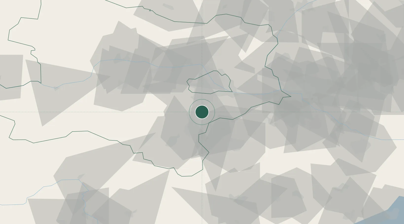
Oberwaltersdorf
47.9833°, 16.3167°
4,618
Population
2
Transport functions
Transport Functions
Rail
Road
Hub Profile
Place type
District seat
Region
Lower Austria
Population
4,618
Time zone
Europe/Vienna
Elevation
212 m
Location
Nearby Logistics Neighbours
Cities
- 1Trumau2 km
- 2Tattendorf4 km
- 3Teesdorf5 km
- 4Ebreichsdorf7 km
- 5Kottingbrunn9 km
Ports
- 1Monfalcone323 km
- 2Trieste325 km
- 3Rijeka Luka328 km
- 4Bakar328 km
- 5Muggia329 km
Airports
Trade Zones
DatabookThe Record of Consolidated Knowledge
Austria beyond logistics?