Transport Functions
Rail
Road
Hub Profile
Place type
Provincial seat
Region
Upper Austria
Population
16,857
Time zone
Europe/Vienna
Elevation
317 m
Logistics facilities
1
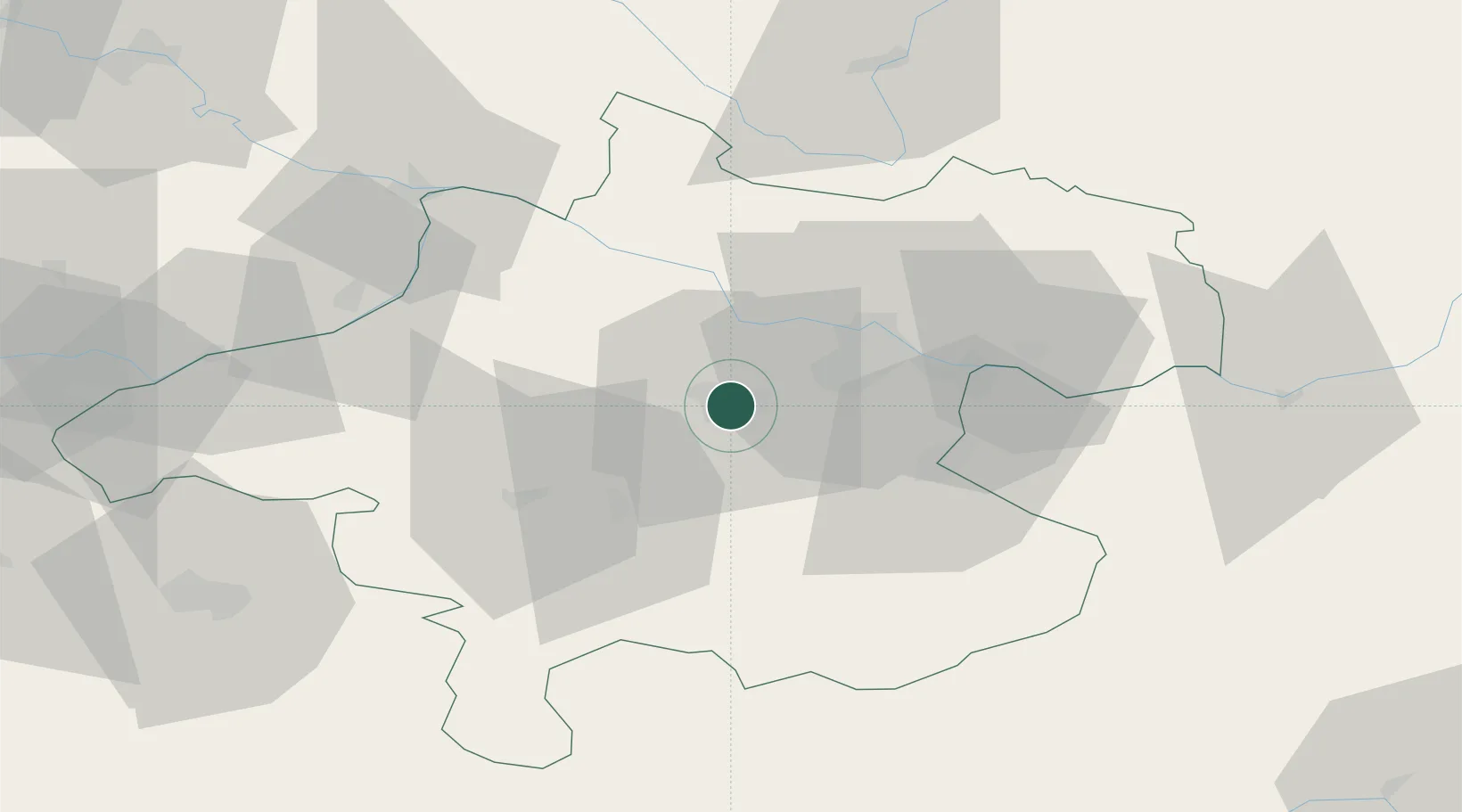
Location
Nearby Logistics Neighbours
Cities
- 1Thalheim bei Wels2 km
- 2Merchtrenk5 km
- 3Steinhaus6 km
- 4Krenglbach7 km
- 5Pichl bei Wels10 km
Ports
- 1Monfalcone268 km
- 2Nogaro276 km
- 3Grado280 km
- 4Trieste281 km
- 5Muggia286 km
Airports
- 1Linz-Hörsching Airport14 km
- 2Salzburg Airport87 km
- 3České Budějovice South Bohemian Airport92 km
- 4Hinterstoisser Air Base120 km
- 5Landshut Airfield153 km
Trade Zones
DatabookThe Record of Consolidated Knowledge
Austria beyond logistics?