Transport Functions
Road
Multimodal
Hub Profile
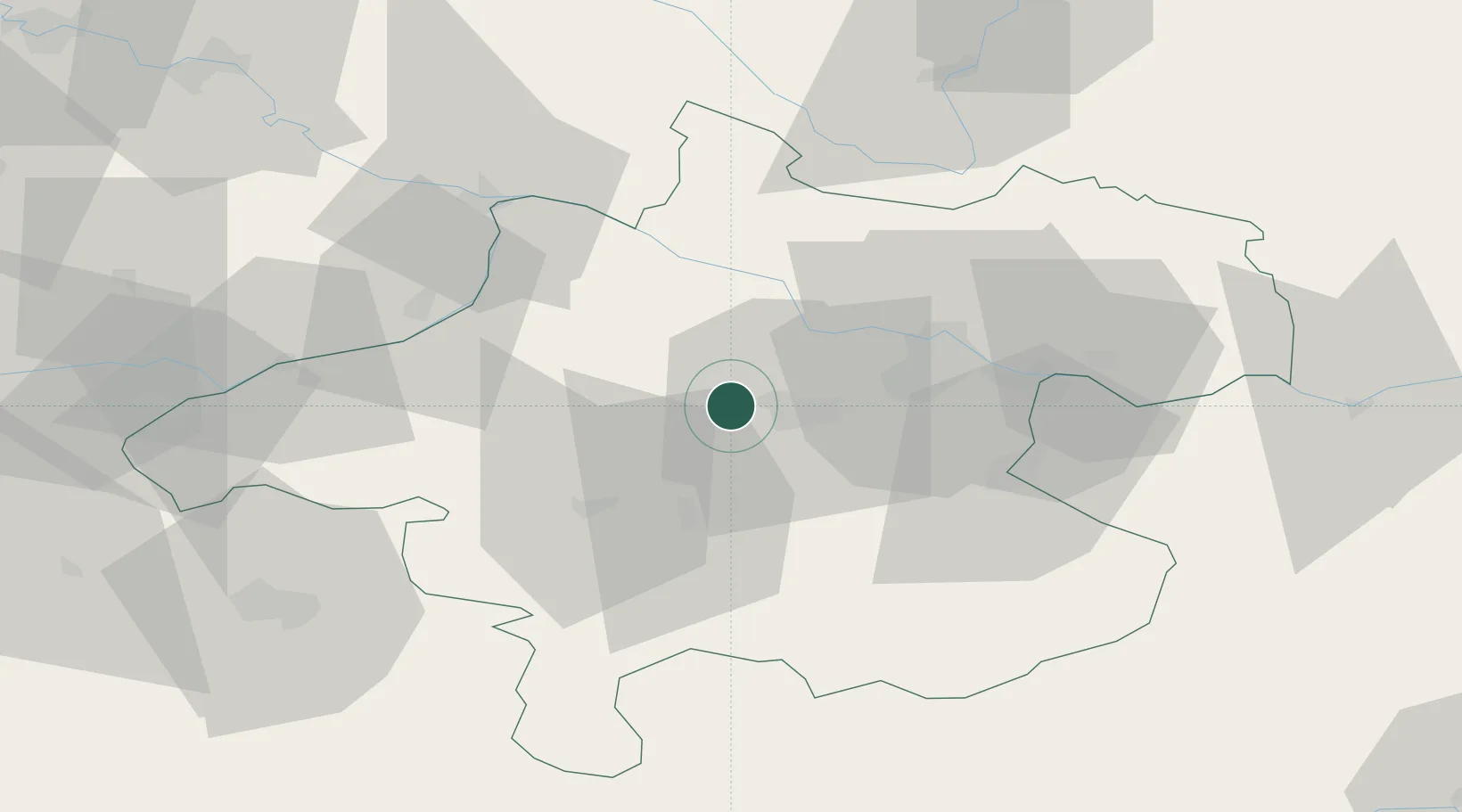
Place type
District seat
Region
Upper Austria
Population
707
Time zone
Europe/Vienna
Elevation
329 m
Location
Nearby Logistics Neighbours
Cities
- 1Krenglbach4 km
- 2Wels10 km
- 3Thalheim bei Wels11 km
- 4Stadl Paura11 km
- 5Steinhaus11 km
Ports
- 1Monfalcone268 km
- 2Nogaro275 km
- 3Grado280 km
- 4Trieste282 km
- 5Muggia287 km
Airports
- 1Linz-Hörsching Airport22 km
- 2Salzburg Airport80 km
- 3České Budějovice South Bohemian Airport94 km
- 4Hinterstoisser Air Base126 km
- 5Landshut Airfield143 km
Trade Zones
DatabookThe Record of Consolidated Knowledge
Austria beyond logistics?