UN/LOCODE hub · Austria
ATMER

Merchtrenk

48.1833°, 14.1000°
2
Transport functions

Transport Functions

Rail
Road
UN/LOCODE

Hub Profile

Region
4
GeoNames

Location

Location of ATMER
Natural Earth 10m (public domain) · 4 · ATMER · 48.18, 14.10GoogleOSMYandex

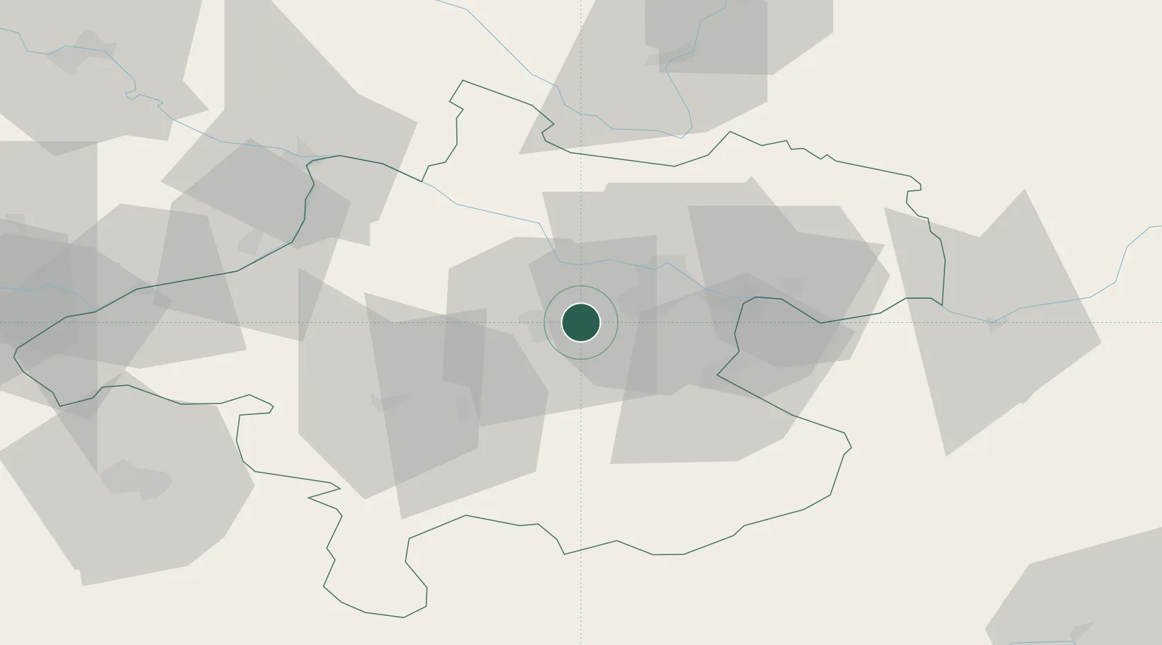
Nearby Logistics Neighbours

Cities
  1. 1Wels5 km
  2. 2Oftering6 km
  3. 3Thalheim bei Wels6 km
  4. 4Hörsching8 km
  5. 5Steinhaus10 km
Nearest neighbours — logibook spatial index (haversine) over the source coordinates
Ports
  1. 1Monfalcone270 km
  2. 2Nogaro279 km
  3. 3Trieste283 km
  4. 4Grado283 km
  5. 5Muggia288 km
Nearest neighbours — logibook spatial index (haversine) over the source coordinates
Airports
  1. 1Linz-Hörsching Airport9 km
  2. 2České Budějovice South Bohemian Airport88 km
  3. 3Salzburg Airport92 km
  4. 4Hinterstoisser Air Base119 km
  5. 5Landshut Airfield157 km
Nearest neighbours — logibook spatial index (haversine) over the source coordinates
Trade Zones
  1. 1Freeport of Deggendorf115 km
  2. 2Světlá nad Sázavou Municipal Industrial Zone191 km
  3. 3Industrial Zone Kutna Hora213 km
  4. 4Černovická Terasa Industrial Zone219 km
  5. 5Kolín - Ovčáry Industrial Zone225 km
Nearest neighbours — logibook spatial index (haversine) over the source coordinates
DatabookThe Record of Consolidated Knowledge
Austria beyond logistics?
Browse databook

All Sources

LocationsUN/LOCODE
UN/LOCODE — free
Portsthe NGA World Port Index
Public domain (US gov)
AirportsOurAirports
Public domain
Trade Zonesthe World Bank SEZ database
CC BY 4.0
Trade ZonesOpen Zone Map
CC BY
← Austria locations