UN/LOCODE hub · Austria
ATTBW
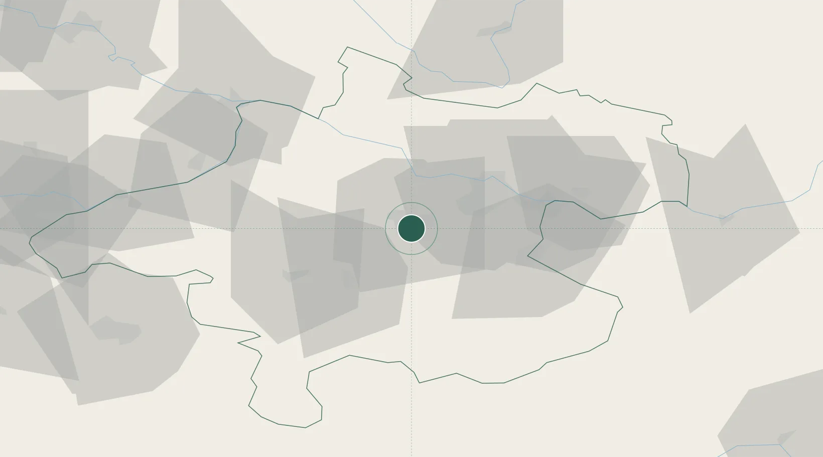
Thalheim bei Wels
48.1500°, 14.0333°
4,294
Population
1
Transport functions
Transport Functions
Multimodal
Hub Profile
Place type
District seat
Region
Upper Austria
Population
4,294
Time zone
Europe/Vienna
Elevation
339 m
Location
Nearby Logistics Neighbours
Cities
- 1Wels2 km
- 2Steinhaus4 km
- 3Merchtrenk6 km
- 4Krenglbach8 km
- 5Sattledt10 km
Ports
- 1Monfalcone266 km
- 2Nogaro274 km
- 3Grado278 km
- 4Trieste279 km
- 5Muggia284 km
Airports
- 1Linz-Hörsching Airport15 km
- 2Salzburg Airport86 km
- 3České Budějovice South Bohemian Airport93 km
- 4Hinterstoisser Air Base118 km
- 5Landshut Airfield153 km
Trade Zones
DatabookThe Record of Consolidated Knowledge
Austria beyond logistics?