UN/LOCODE hub · Austria
ATWAS

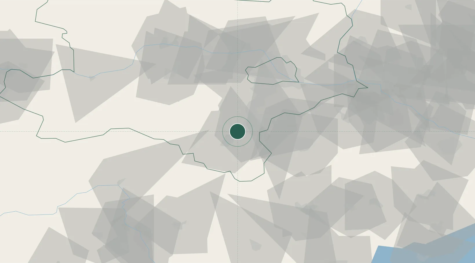
Weikersdorf am Steinfelde

47.8000°, 16.1333°
1,066
Population
1
Transport functions

Transport Functions

Multimodal
UN/LOCODE

Hub Profile

Place type
District seat
GeoNames
Region
Lower Austria
GeoNames
Population
1,066
GeoNames
Time zone
Europe/Vienna
GeoNames
Elevation
303 m
GeoNames

Location

Location of ATWAS
Natural Earth 10m (public domain) · Lower Austria · ATWAS · 47.80, 16.13GoogleOSMYandex

Nearby Logistics Neighbours

Cities
  1. 1Muthmannsdorf5 km
  2. 2Bad Fischau5 km
  3. 3Wöllersdorf-Steinabrückl6 km
  4. 4Willendorf7 km
  5. 5Lanzenkirchen11 km
Nearest neighbours — logibook spatial index (haversine) over the source coordinates
Ports
  1. 1Monfalcone298 km
  2. 2Trieste300 km
  3. 3Rijeka Luka304 km
  4. 4Bakar304 km
  5. 5Muggia304 km
Nearest neighbours — logibook spatial index (haversine) over the source coordinates
Airports
  1. 1Wiener Neustadt West Airport8 km
  2. 2Wiener Neustadt East Airport11 km
  3. 3Vienna International Airport47 km
  4. 4M. R. Štefánik Airport90 km
  5. 5Malacky/Kuchyňa Air Base99 km
Nearest neighbours — logibook spatial index (haversine) over the source coordinates
Trade Zones
  1. 1Černovická Terasa Industrial Zone158 km
  2. 2Veselí nad Moravou Industrial Zone158 km
  3. 3Sjever Free Zone169 km
  4. 4Krapina-Zagorje Free Zone184 km
  5. 5Holešov Industrial Zone199 km
Nearest neighbours — logibook spatial index (haversine) over the source coordinates
DatabookThe Record of Consolidated Knowledge
Austria beyond logistics?
Browse databook

All Sources

LocationsUN/LOCODE
UN/LOCODE — free
LocationsGeoNames
CC BY 4.0
Portsthe NGA World Port Index
Public domain (US gov)
AirportsOurAirports
Public domain
Trade Zonesthe World Bank SEZ database
CC BY 4.0
Trade ZonesOpen Zone Map
CC BY
← Austria locations