UN/LOCODE hub · Austria
ATWLL

Wöllersdorf-Steinabrückl

47.8500°, 16.1667°
2
Transport functions

Transport Functions

Rail
Road
UN/LOCODE

Hub Profile

Region
1
GeoNames

Location

Location of ATWLL
Natural Earth 10m (public domain) · 1 · ATWLL · 47.85, 16.17GoogleOSMYandex

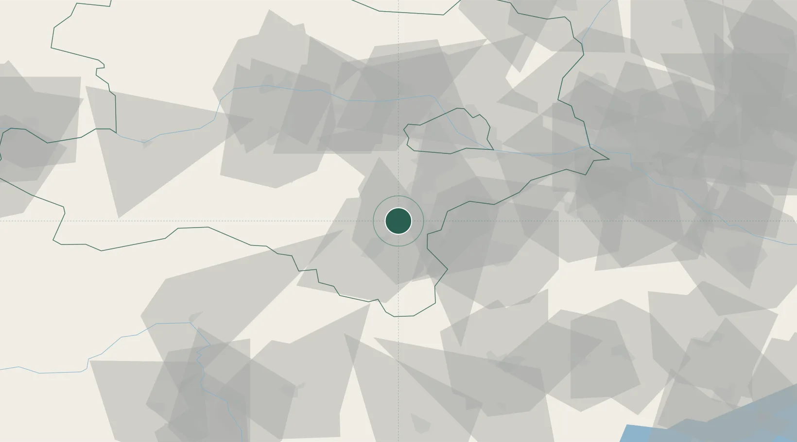
Nearby Logistics Neighbours

Cities
  1. 1Bad Fischau2 km
  2. 2Muthmannsdorf5 km
  3. 3Weikersdorf am Steinfelde6 km
  4. 4Felixdorf7 km
  5. 5Enzesfeld8 km
Nearest neighbours — logibook spatial index (haversine) over the source coordinates
Ports
  1. 1Monfalcone304 km
  2. 2Trieste306 km
  3. 3Rijeka Luka310 km
  4. 4Bakar310 km
  5. 5Muggia310 km
Nearest neighbours — logibook spatial index (haversine) over the source coordinates
Airports
  1. 1Wiener Neustadt West Airport4 km
  2. 2Wiener Neustadt East Airport7 km
  3. 3Vienna International Airport42 km
  4. 4M. R. Štefánik Airport86 km
  5. 5Malacky/Kuchyňa Air Base94 km
Nearest neighbours — logibook spatial index (haversine) over the source coordinates
Trade Zones
  1. 1Černovická Terasa Industrial Zone152 km
  2. 2Veselí nad Moravou Industrial Zone152 km
  3. 3Sjever Free Zone174 km
  4. 4Krapina-Zagorje Free Zone190 km
  5. 5Holešov Industrial Zone193 km
Nearest neighbours — logibook spatial index (haversine) over the source coordinates
DatabookThe Record of Consolidated Knowledge
Austria beyond logistics?
Browse databook

All Sources

LocationsUN/LOCODE
UN/LOCODE — free
Portsthe NGA World Port Index
Public domain (US gov)
AirportsOurAirports
Public domain
Trade Zonesthe World Bank SEZ database
CC BY 4.0
Trade ZonesOpen Zone Map
CC BY
← Austria locations